Science
Overall Science Goals and Objectives
NISAR will provide a dynamic 3D view of Earth’s land and ice in unprecedented detail. NISAR’s dual radar systems, which will be able to gather data in any weather and in darkness or light, will enable scientists to measure the movement and changes in land and ice surfaces down to fractions of an inch.
NASA and ISRO’s baseline scientific objectives for NISAR are to:
- Monitor and understand the physical processes associated with earthquakes, volcanic eruptions, landslides, and land subsidence
- Understand the dynamics of carbon storage and uptake in wooded, agricultural, wetland, and permafrost systems
- Understand the response of ice sheets and glaciers to rising temperatures and the resulting impacts on sea level rise, as well as the interaction of sea ice and weather patterns
NISAR is also intended to provide practical information to communities affected by changes to Earth’s surface. The key community benefit objectives for NISAR are to:
- Understand the dynamics of water, hydrocarbon, and sequestered carbon dioxide reservoirs, which impact societies
- Provide agricultural monitoring capability to support sufficient food security objectives
- Apply NISAR’s unique dataset to hazard identification and mitigation
- Provide information to support disaster response and recovery
- Understand coastal and ocean processes for regions in and around India
- Provide observations of relative sea level rise from melting land ice and land sinking, or subsidence
The areas of scientific focus for NISAR grew from the 2007 National Academy of Sciences decadal survey, which outlined the need for space-based monitoring and study of solid Earth dynamics, changes in ecosystems, and motion of the planet’s frozen surfaces.
Solid Earth Measurements
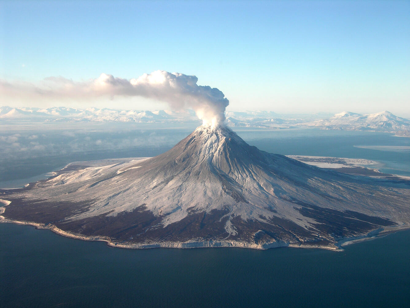
Augustine Volcano, Alaska. Credit: USGS | Full Image
NISAR will monitor motion, stresses, and deformation of Earth’s land surfaces to gain insight into natural hazards such as landslides, volcanic eruptions, and earthquakes. It will also track uplift and subsidence in aquifer systems, which will help researchers understand groundwater supplies. To support disaster response, the mission will expedite the processing of targeted imagery of affected areas.
Ecosystems Measurements
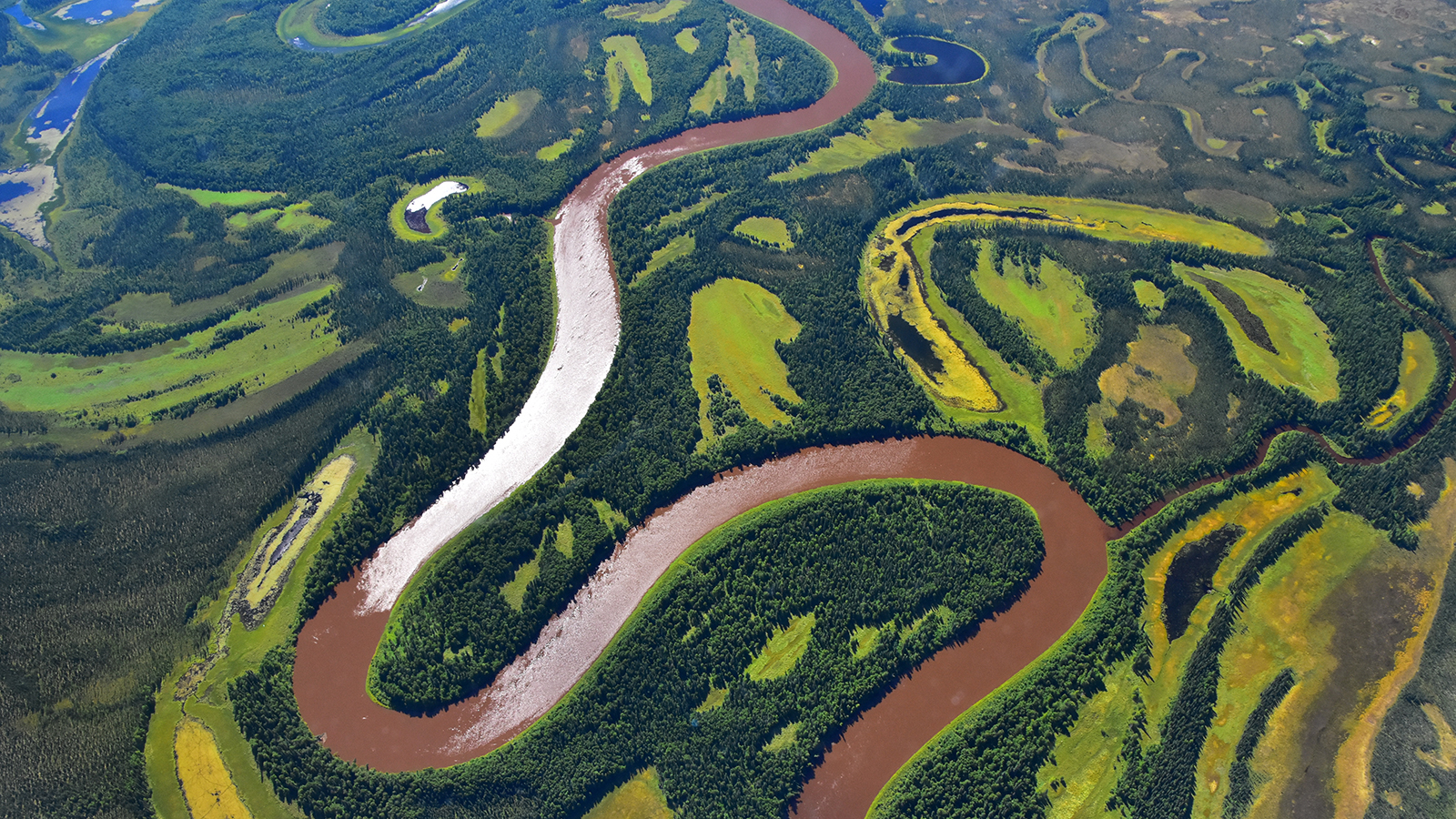
Kuskokwim River, Alaska. Credit: NASA/Peter Griffith | Full Image
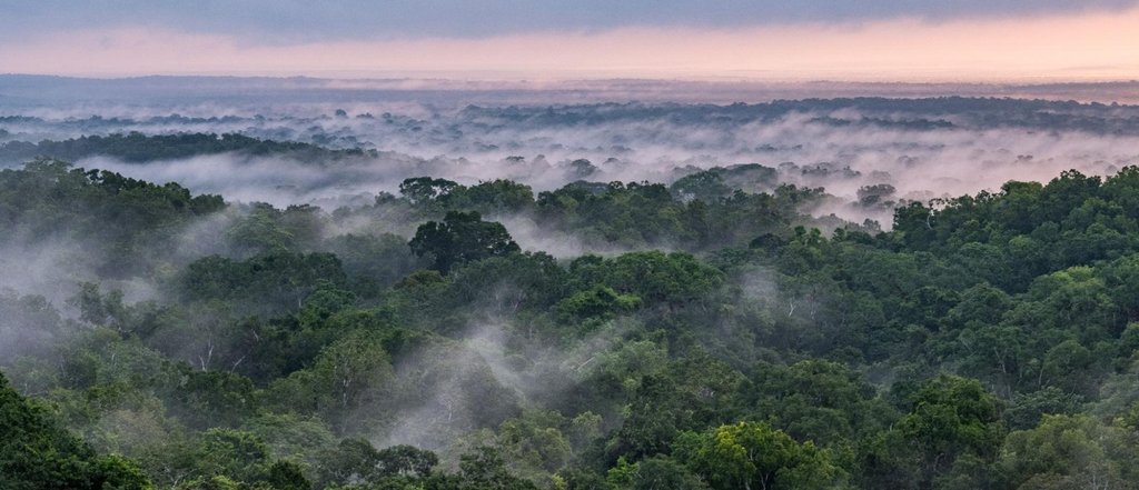
NISAR will offer unprecedented insights into changes in forests and wetlands — two ecosystems vital to regulating carbon in the atmosphere. Disruption of either ecosystem, whether gradual or sudden, can accelerate the release of carbon dioxide and methane, potentially affecting Earth’s carbon cycle. The mission will also track changes in the extent and soil moisture content of agricultural lands.
Ice Surface Measurements
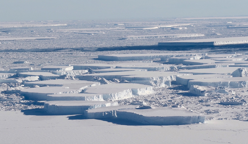
Antarctic icebergs near the Larsen C ice shelf. Credit: NASA/Jefferson Beck | Full Image
NISAR will study the planet’s ice-covered surfaces as they melt, move, and deform. The melting of the massive ice sheets covering Antarctica and Greenland has contributed about a third of global sea level rise, while the disintegration of mountain glaciers has added about the same share, in addition to affecting water supplies for billions of people. Meanwhile, the melting of polar sea ice can affect ocean circulation on a global scale.
Community Impact
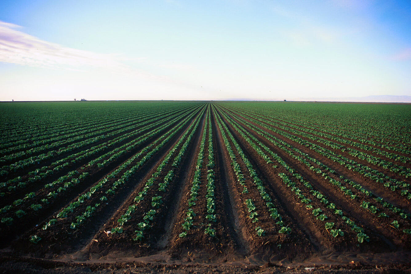
Agricultural field in California. Credit: USGS | Full Image
The NISAR Early Adopters program includes more than 240 data users representing academic institutions, water management agencies, private businesses such as engineering companies, and other organizations from at least 30 U.S. states and 40 countries. Through workshops and other collaborative outreach activities, users learn how to access NISAR data and apply it to addressing their objectives.
The mission team is also organizing applications workshops, which bring together communities of researchers around their areas of study. There have been more than 10 sessions since 2014, in which participants have discussed how to use the data in real-world applications that benefit society.
Eyes on Infrastructure: How the NISAR Satellite Will Help Keep Communities Safer (Video)
Science Instruments
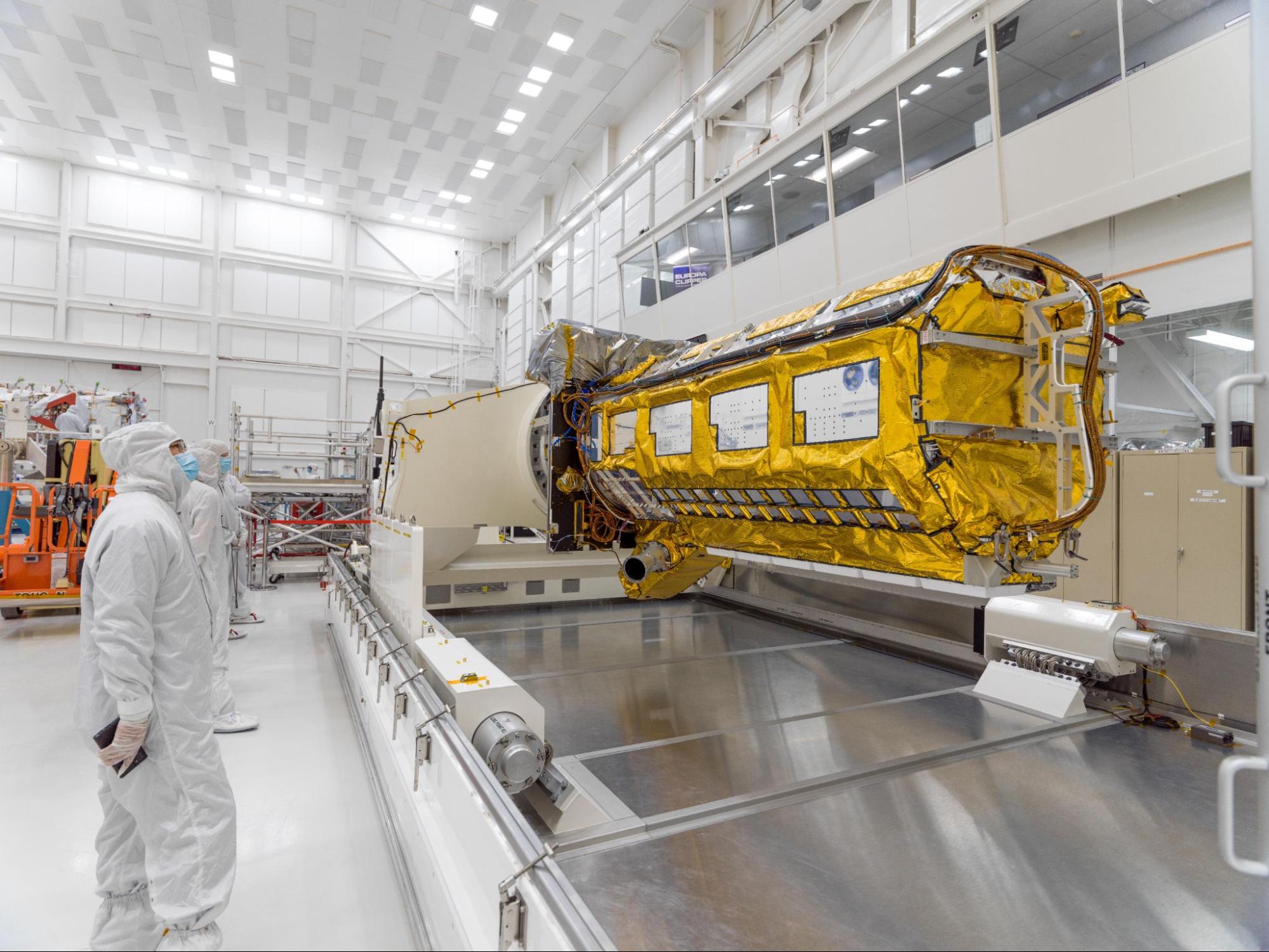
NISAR science instrument payload in a clean room at NASA’s Jet Propulsion Laboratory. Credit: NASA/JPL-Caltech | Full Image
The NISAR satellite has two radar instruments to measure how Earth’s surface changes over time. Able to see through clouds and any weather, each instrument bounces a specific frequency of microwave signal off the planet’s surface and registers the characteristics of the return signal, including the strength, time delay, and polarization.
These measurements are used to create radar images. Through a technique called interferometry, researchers can compare snapshots taken of the same land or ice surface at different points in time to tell how that surface has moved or deformed.
The instruments also measure the return signal’s polarization — whether it’s waving vertically or horizontally — and use that information to determine electric and structural properties of the surface. In turn, those properties indicate the presence of water and geometric characteristics of a surface, such as roughness. Comparison of the same surface over time can reveal how these qualities change.
Synthetic Aperture Radar
Synthetic aperture radar, or SAR, is a technique that enables a radar system to obtain images finer in resolution than a space-based sensor could with an antenna of the same size. A space-based radar that does not use SAR would have to have an antenna 65,000 feet (20,000 meters) long to produce images of the resolution NISAR will produce with its 39-foot (12-meter) antenna reflector.
SAR achieves this finer resolution and higher image contrast by observing every point on the surface along its path many times, then combining those observations through computer processing. The satellite’s individual pixels cover an area on the surface about 16 feet (5 meters) on each side; billions of pixels make up each image, spanning about 150 miles (240 kilometers) on a side.
Through careful alignment and the interferometric combination of images taken every 12 days over any spot on Earth, NISAR can precisely measure surface motion in the direction the radar is pointing. For example, using the data from NISAR, researchers will be able to detect vertical movement of about 0.4 inches (1 centimeter) over a plot of land or ice surface about the size of half a tennis court.
L-Band SAR
The “L” denotes the wavelength of the signal, which is around 10 inches (25 centimeters). Developed at NASA JPL, the L-band SAR can see through clouds and the leaves of a forest canopy, which can obstruct the view of other types of instruments. On NISAR, it will measure changes in the extent and density of forests, wetlands, and agricultural lands. In addition, it can measure displacement and deformation of land, and because the radar can also penetrate snow, it’s useful for measuring glacier and sea ice velocity.
In addition to using L-band data to meet the mission’s global science objectives, ISRO will leverage it to address a series of India’s Earth science priorities, including coastal wind velocity, seafloor topography near Indian coasts, the shape and position of the country’s coastlines, biomass measurements, geological features in the Himalayas and on the Deccan Plateau, and sea ice features in the Arctic and Antarctic.
S-Band SAR
The “S” denotes a signal wavelength of nearly 4 inches (10 centimeters). The S-band SAR is able to see through clouds. Although it is not able to penetrate as far into dense vegetation as an L-band SAR signal, it is sensitive to light vegetation. Being more sensitive to moisture in snow, it is also better than the L-band at detecting melting snowpack. The S-band instrument was developed at ISRO’s Space Applications Centre in Ahmedabad, India. NISAR will be the first satellite to simultaneously collect L-band and S-band radar data.
Download the Press Kit