Understanding Weather
Weather Research at JPL
Should I take an umbrella? Do I need a sweater today? Questions like these are asked around the globe every day. And whether people get their weather reports from TV or radio, a smart phone app, or word of mouth, odds are that much of the data for those weather forecasts comes from JPL-managed satellites and instruments.
For example, Sentinel-6 Michael Freilich, the latest in a series of ocean-observing spacecraft, measures atmospheric temperature and humidity, which helps to improve weather forecasts.
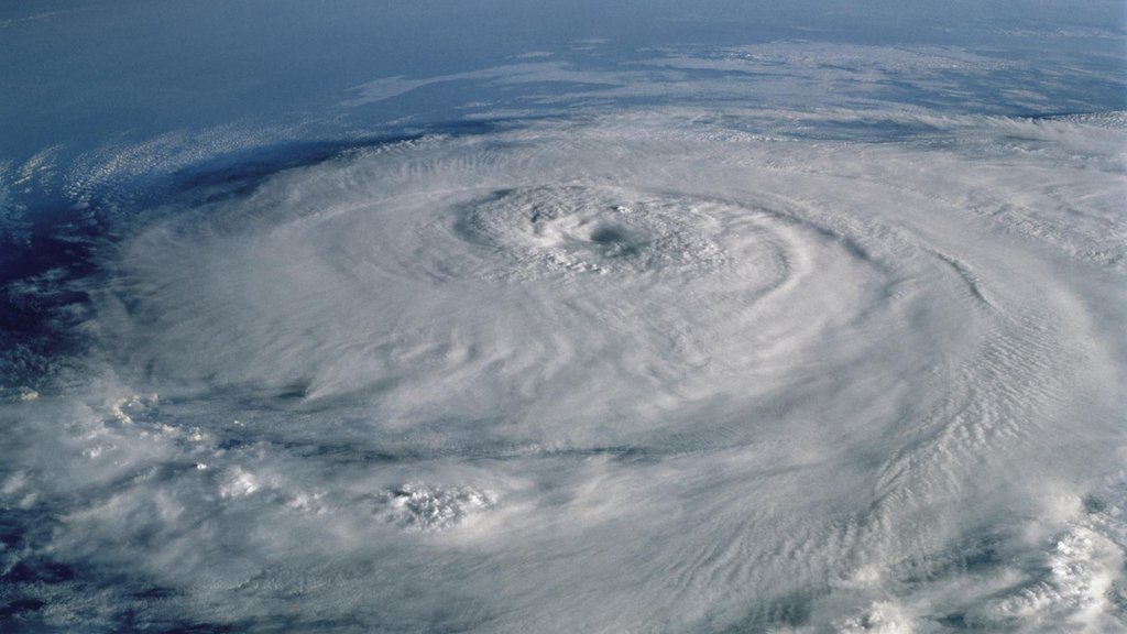
And for years, JPL-managed international Earth-orbiting satellites have been monitoring Pacific Ocean temperatures for El Nino or La Nina conditions. Those strong factors determine whether the West Coast will experience a drought that may increase fire danger and affect water supplies, or bring cooler and wetter weather to the southern U.S. JPL also helps inform disaster planners about hurricanes and other extreme weather events that require complex planning and response.
And the technologies improve with each generation. An experimental cereal box-size weather satellite in low-Earth orbit took its first images of Hurricane Florence just hours after its instrument was turned on. Its high-tech trick: an instrument that can, in real time, see inside thick storm clouds, an area.
Weather on the Wild Side
From thunderstorms to towering fire-induced clouds, nature provides dramatic and weird weather displays. And unseen rivers of moisture travel through the atmosphere and affect our rain patterns. NASA satellites observe many of these weather events, which include:
Atmospheric rivers: These flows of tropical moisture travel across the Pacific Ocean to the U.S. West Coast. After arrival, the atmospheric rivers release their moisture as rain or snow, producing about 40% of California's annual water supply, and most of its major floods.
Haboobs and other dust storms: Haboobs are mighty winds that usually start along the Sahara Desert in Sudan, sometimes along with thunderstorms. They generate blinding dust clouds that can transport huge walls of sand or dust more than 3,000 feet high. Extreme haboobs have blown across the world, even reaching parts of the United States.
In other conditions, extremely high winds can whip up wildfires, cause hazardous travel conditions, and harm agriculture. Earth's most intense, dangerous windstorms tend to flare up during an extended drought — like the U.S. Dust Bowl that drove a westward migration of people whose livelihoods were demolished in the 1930s by relentless drought, winds, and famine.
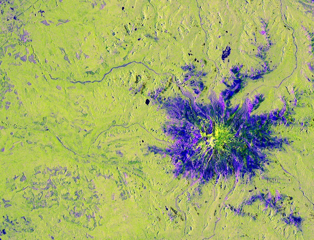
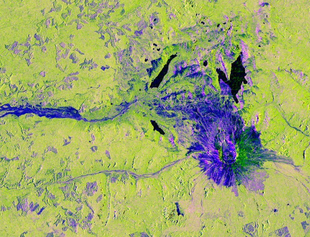
Fire weather: Some large fires grow so dramatically, their heat and winds generate weather. Tall, billowing Pyrocumulus clouds sometimes tower over raging fires. These clouds are a variation of standard cumulus clouds frequently seen in non-fire conditions. Fires can trigger dry thunderstorms that don’t produce rain, but that can spark lightning. A fire tornado is occasionally created when intense heat and turbulent winds form whirling eddies of air that may contain flame or ash.

More About Weather
Mission SpotlightSentinel-6 Michael Freilich Satellite
Designed to measure the height of the ocean — a key component to understanding how Earth's climate is changing — Sentinel-6/Michael Freilich is one of two identical satellites that will be launched five years apart.
Time in Orbit