Earth Science
Studying Our Home Planet at JPL
Earth Science at JPL
As residents of planet Earth, every one of us benefits from NASA research that has expanded our collective knowledge dramatically. These studies help us learn how Earth's land, oceans, and atmosphere work separately and in concert, and how they directly affect our lives.
Armed with sophisticated instruments on the ground, in the seas, in the air, and in space, NASA gathers images and data that help with real-world applications that include developing weather forecasts, climate trends, shipping routes, and disaster recovery plans.
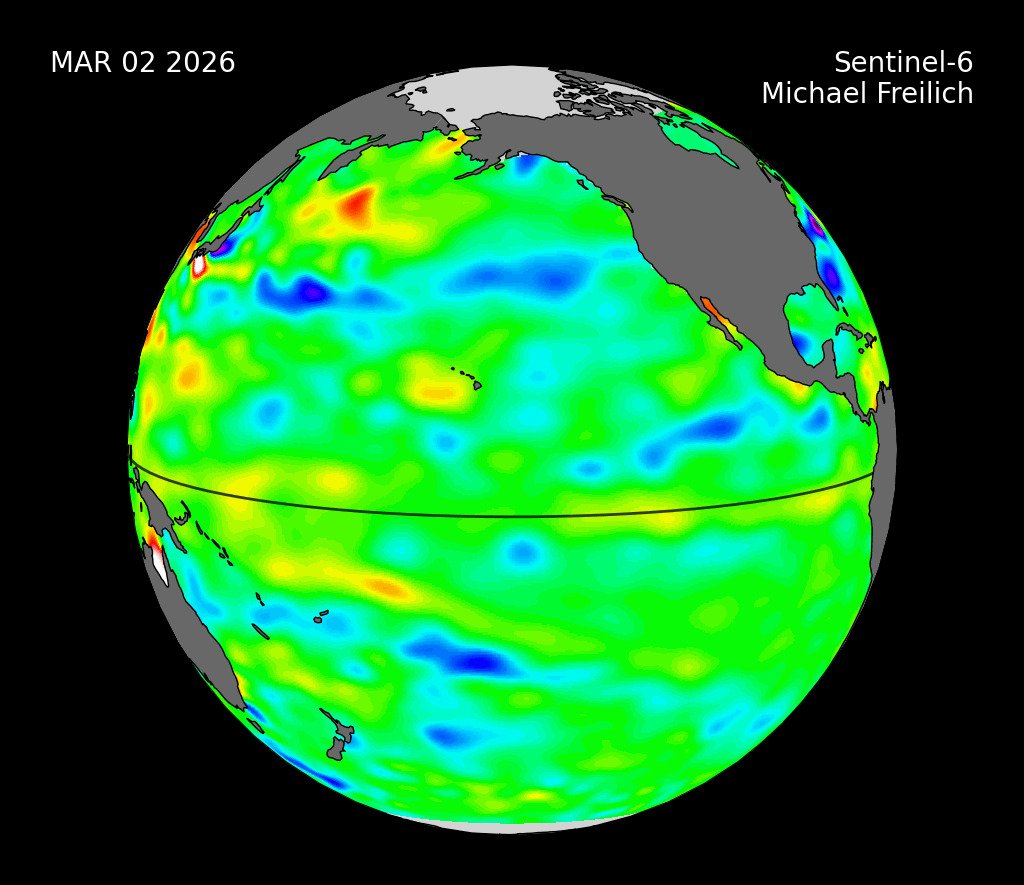
For example, because two-thirds of our planet is covered by water, tracking the movement of water is vital to monitoring the health of people and ecosystems. Too much water, or too little, can wreak havoc by leading to floods or droughts. Among the missions that JPL manages are satellites that monitor minute changes in Earth’s gravitational field, allowing scientists to track the movement of water around the world. That information helps researchers monitor droughts, ocean current, and even how human activities like watering agricultural fields can affect water levels in aquifers where water is stored underground.
How Earth Science Helps in Disasters
When a natural disaster such as a hurricane, wildfire, or earthquake strikes, chances are good that NASA has an instrument in the air, in space, or on the ground that can gather images and data on affected areas. This information is often a crucial help for emergency responders. JPL-managed instruments and satellites frequently provide data that for the NASA Earth Applied Sciences Disasters Program, which makes data user-friendly and accessible for various civil protection agencies and organizations
For instance, during the colossal 2020 fire season in the western U.S., researchers flew a sophisticated radar instrument over parts of California. The instrument mapped the most intense/biggest infernos, located burned structures, and identified areas most at risk of post-fire landslides and debris flows during seasonal rains. A satellite-based instrument monitored carbon monoxide plumes rising from the raging wildfires. And an instrument perched on the International Space Station mapped surface temperatures during the record-breaking heat wave that coincided with the historic wildfire outbreak in California.
More About Earth

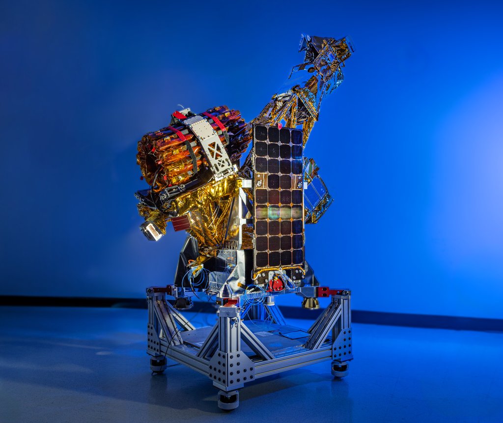
Mission SpotlightNISAR
Using advanced radar imaging that will provide an unprecedented, detailed view of Earth, the NASA-ISRO Synthetic Aperture Radar, or NISAR, satellite is designed to observe and take measurements of some of the planet's most complex processes.
Time in Orbit