
Other Martian Gullies with Light-Toned Deposits

 |  |  |
| Figure A Annotated Image | Figure B Annotated Image |
Annotated Image
No Annotation
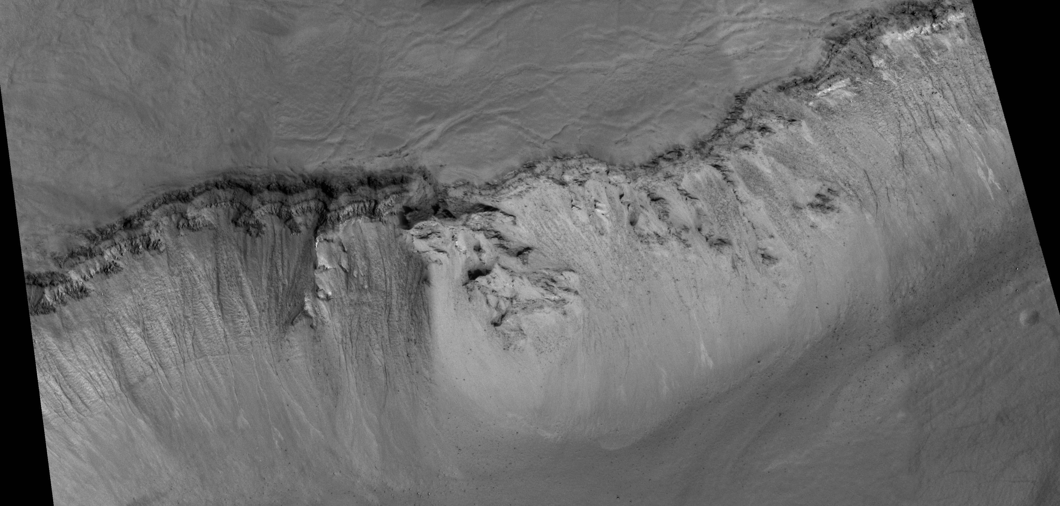
The Mars Global Surveyor (MGS) Mars Orbiter Camera (MOC) captured two examples of gullies on crater walls in which a change occurred between 1999 and 2005. In each case, one in Terra Sirenum (see PIA09027 or MOC2-1618), the other in the Centauri Montes (see PIA09028 or MOC2-1619), new light-toned material was deposited during the MGS mission. These new light-toned deposits may be indicators that water flowed at these two gully sites during the past few years. Naturally, a question arises: are there other gullies at which similar light-toned deposits have formed?
To answer the question, the MOC team at Malin Space Science Systems (MSSS) reviewed every MOC image ever taken of a martian gully. Most of the gullies occur at middle latitudes in both the northern and southern hemispheres. This re-examination turned up several good examples of other light-toned materials deposited in gullies. However, in none of these cases is there a "before" image, with no light-toned material, followed by an "after" image in which new light-toned material had appeared. Thus, one cannot know how long ago these other light-toned deposits formed. However, these are excellent candidates for future monitoring with orbiter cameras that have sufficient spatial resolution to look for new light-toned deposits, should they form during the coming years. Shown here are three of the best examples the MOC team identified.
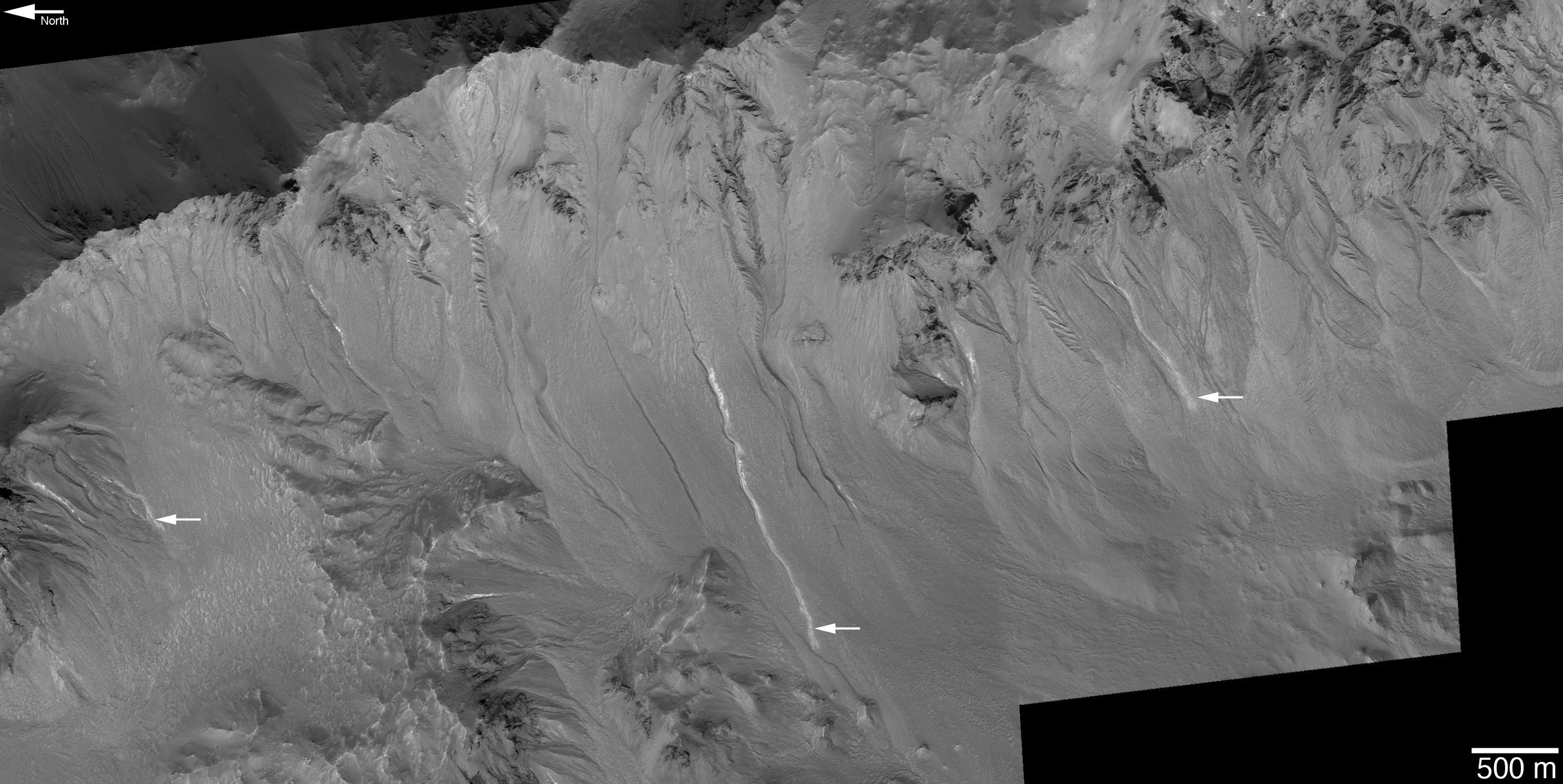
Figure A: This image shows several gullies with light-toned material on their floors and deposited in their aprons. This area is located on the northeast wall of Hale Crater near 35.5°S, 35.4°W. The picture is a mosaic of MOC images R07-02277 (acquired 31 July 2003), R13-01791 (acquired 11 January 2004), and S16-01780 (acquired 21 March 2006). The 500 meter scale bar is 547 yards long.
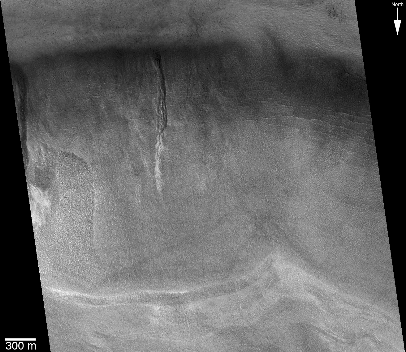
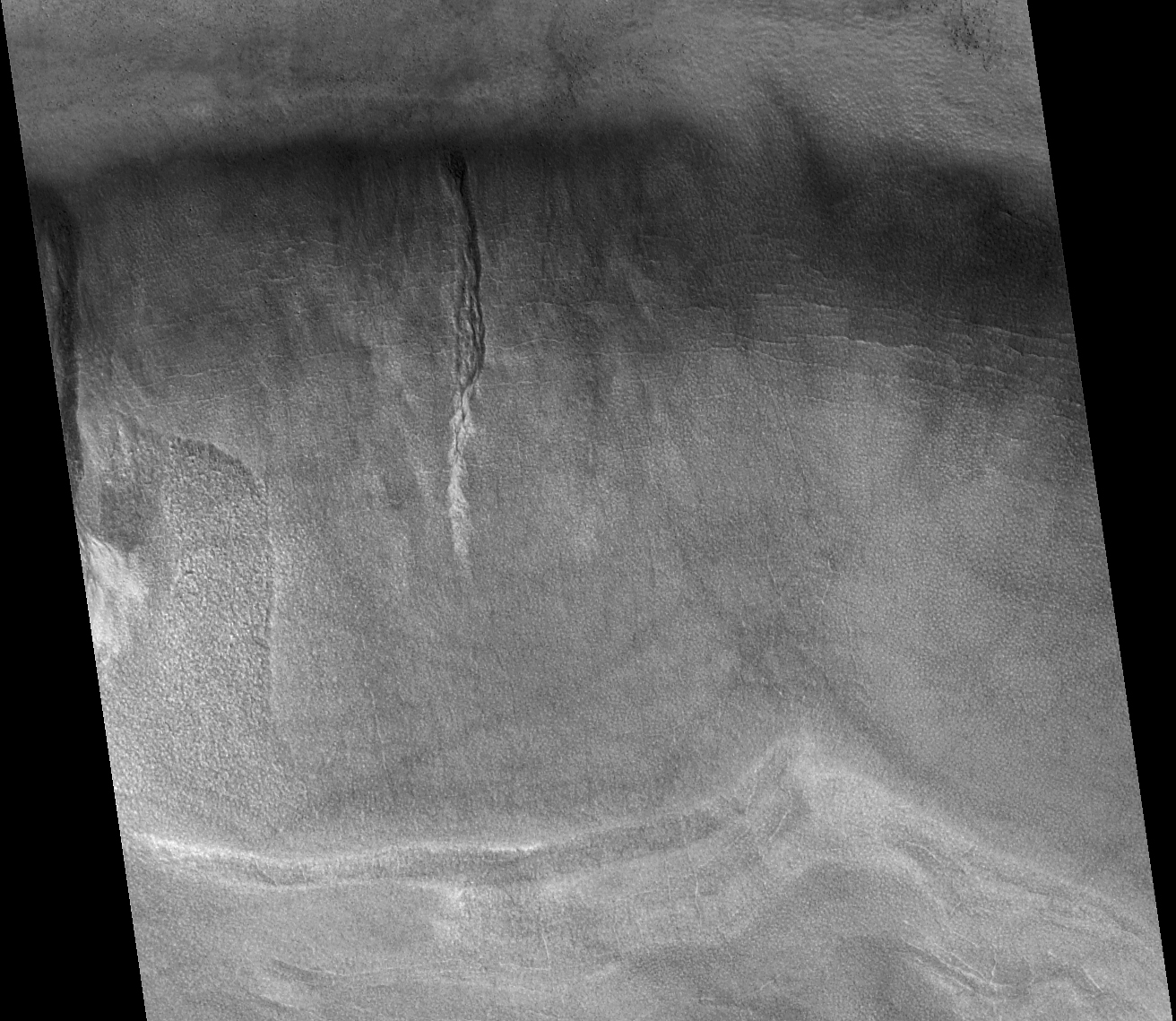
Figure B: This image shows a portion of the south wall of an unnamed crater on the northern plains of Mars, near 59.0°N, 277.7°W. As in the previous example, the material deposited after movement through the gully channel is light-toned. A portion of another gully is seen on the left edge of the picture. This is a sub-frame of MOC image R01-00902, acquired on 19 January 2003.
Figure C: This picture is a mosaic of MOC images M11-00286 (acquired 2 January 2000), S13-01274 (acquired 13 December 2005), and R09-01804 (acquired 16 September 2003). The arrows point to several light-toned gully deposits that were observed at this location, the wall of a deep pit formed in a large crater nearly filled with layered, boulder-producing rock. These features are located in Noachis Terra near 47.2°S, 355.8°W.
The Mars Global Surveyor mission is managed for NASA's Office of Space Science, Washington, by the Jet Propulsion Laboratory, a division of the California Institute of Technology, Pasadena. Lockheed Martin Space Systems, Denver, developed and operates the spacecraft. Malin Space Science Systems, San Diego, Calif., built and operates the Mars Orbiter Camera.
For more information about images from the Mars Orbiter Camera, see http://www.msss.com/mgs/moc/index.html.