The Enceladus Atlas

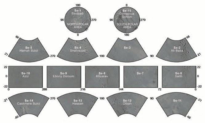
Enceladus Atlas Index
Presented here is a complete set of cartographic map sheets from a high-resolution Enceladus atlas, a project of the Cassini Imaging Team.
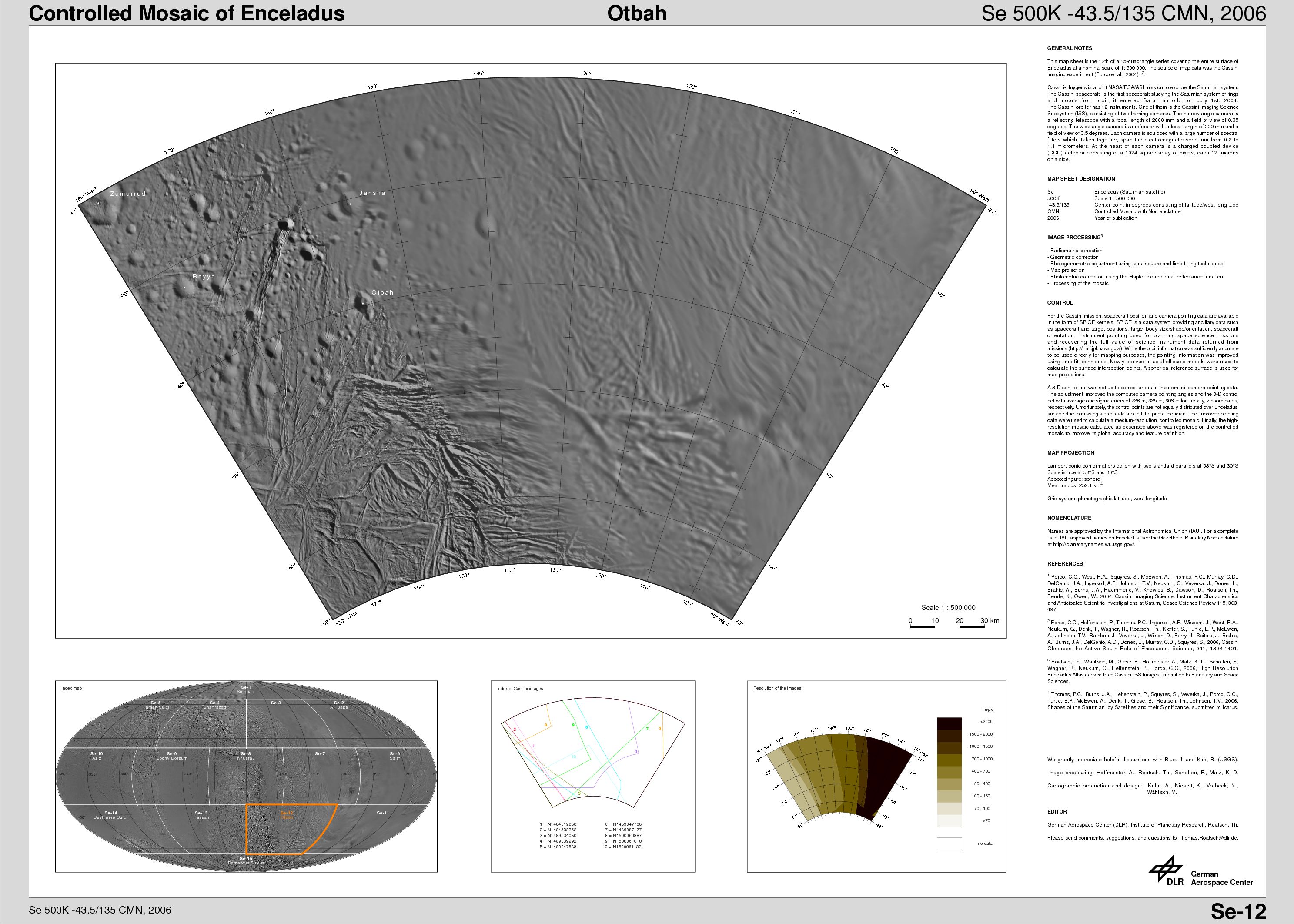
The map sheets form a 15-quadrangle series covering the entire surface of Enceladus at a nominal scale of 1:500,000. An index for the atlas is included here, along with an unlabeled version of each terrain section. The map data was acquired by NASA's Cassini spacecraft, imaging science sub-system. The mean radius of Enceladus used for projection of the maps is 252.1 kilometers (156.6 miles). Names for features have been approved by the International Astronomical Union (IAU).
***ERRATA (2008-12-15):The longitude system according to Davies and Katayama (1983) and adopted by the IAU/IAG (International Astronomical Union/International Association of Geodesy) Working Group on Cartographic Coordinates and Rotational Elements as standard is defined by crater Salih at 5 degrees west. To be consistent with this definition, the final controlled mosaic was shifted by 3.5 degrees to the west. This was not possible for the earlier version of the Enceladus atlas from 2006 since crater Salih was imaged for the first time with high resolution during the flybys in 2008. The south pole map (map sheet #15) was shifted in the 2008 version, we plan to release a complete new atlas sometime in 2009.
References
- (1) Davies, M. E. and Katayama, F. Y., The control networks of Mimas and Enceladus, Icarus, 53, 332-340, 1983.
- (2) Seidelmann, P. K. and 14 co-authors, Report of the IAU/IAGWorking Group on cartographic coordinates and rotational elements: 2006, Celestial Mech. Dyn. Astr., 98, 155-180, 2007.
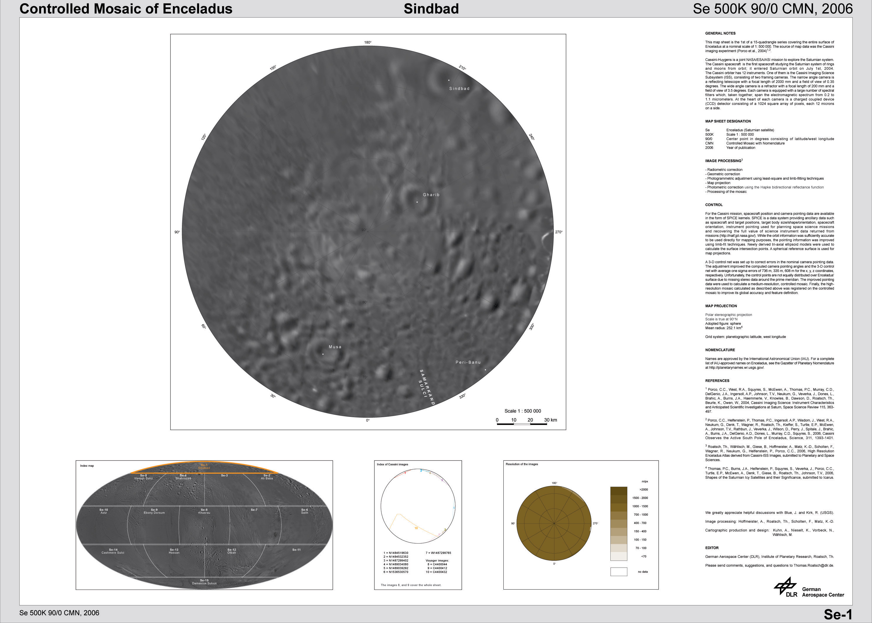 Sindbad Region (Se-1) | 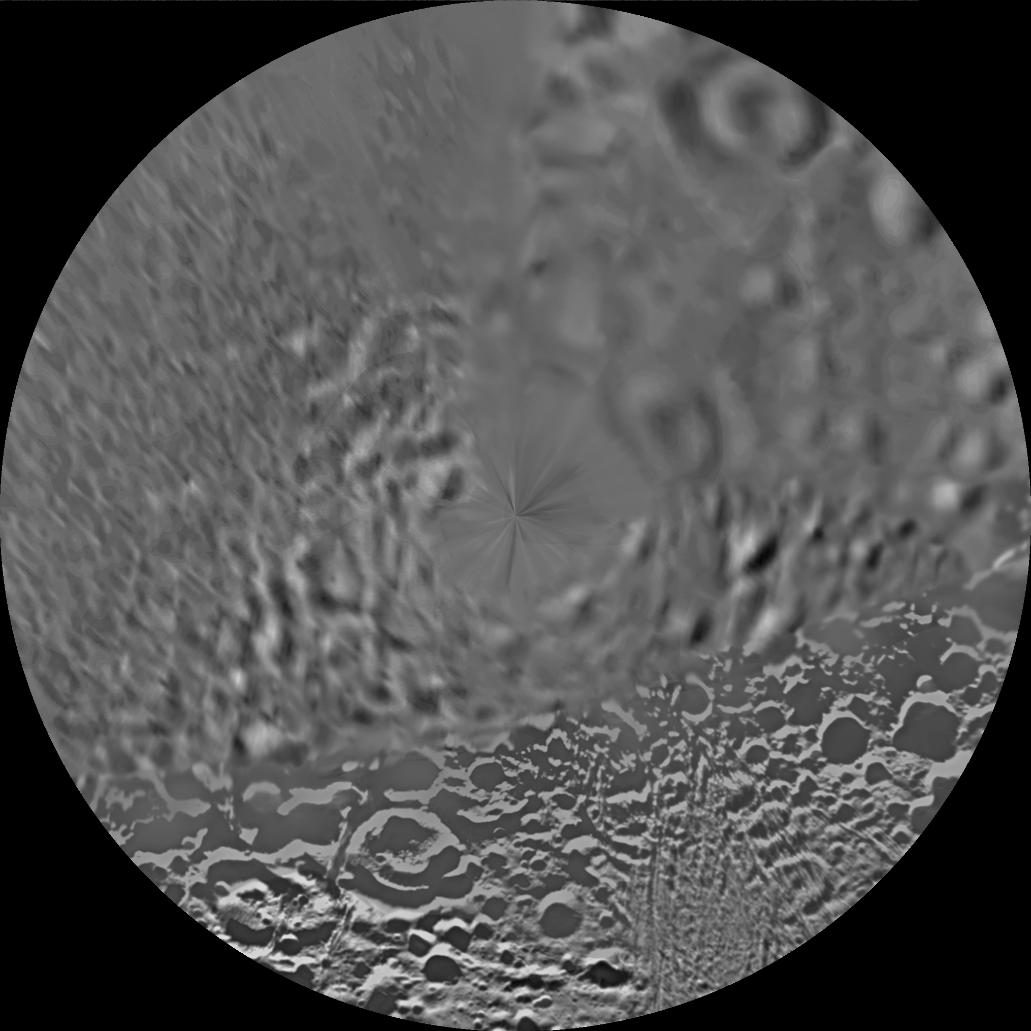 Unlabeled Sindbad Terrain Section |
 Ali Baba Quadrangle (Se-2) | 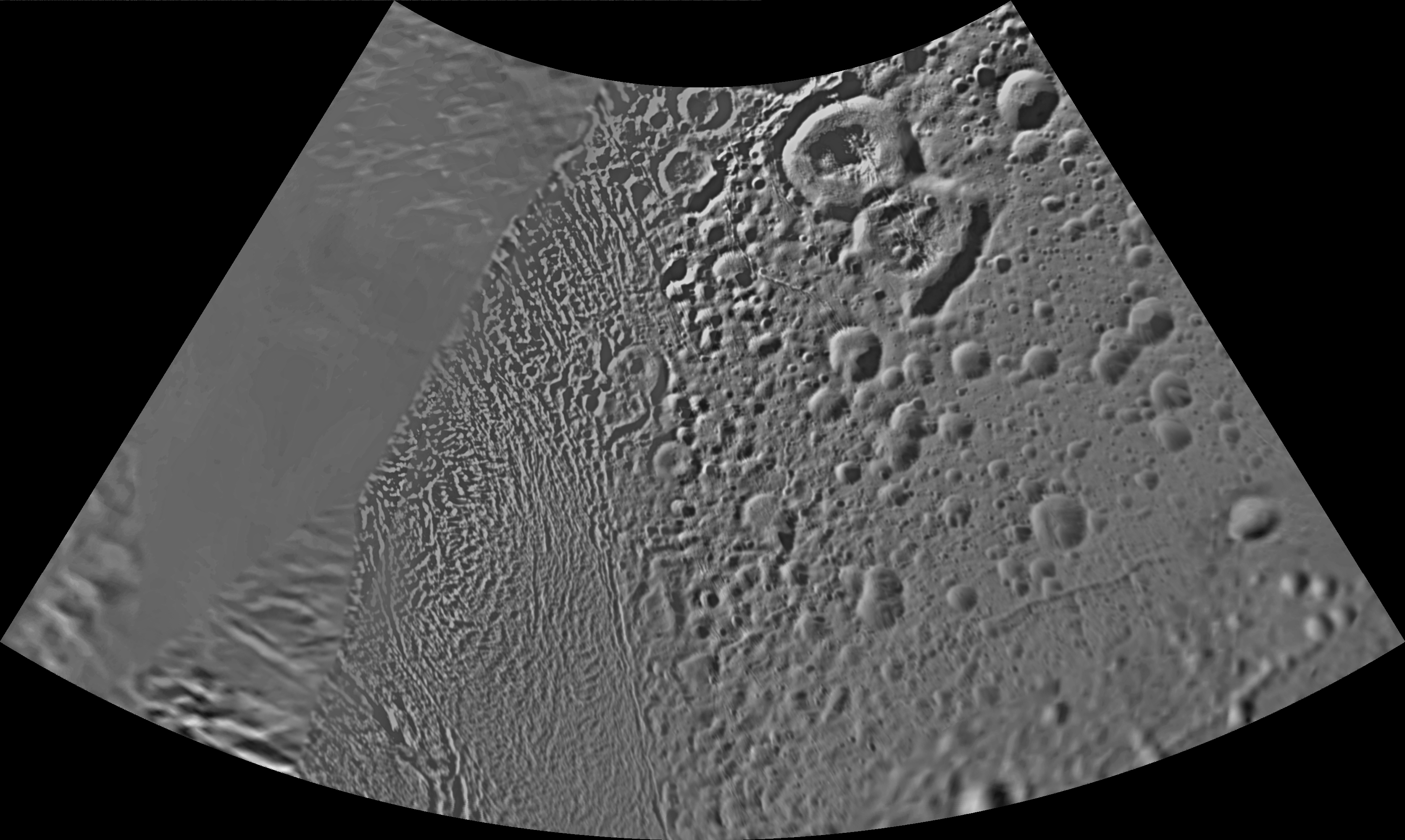 Unlabeled Ali Baba Terrain Section |
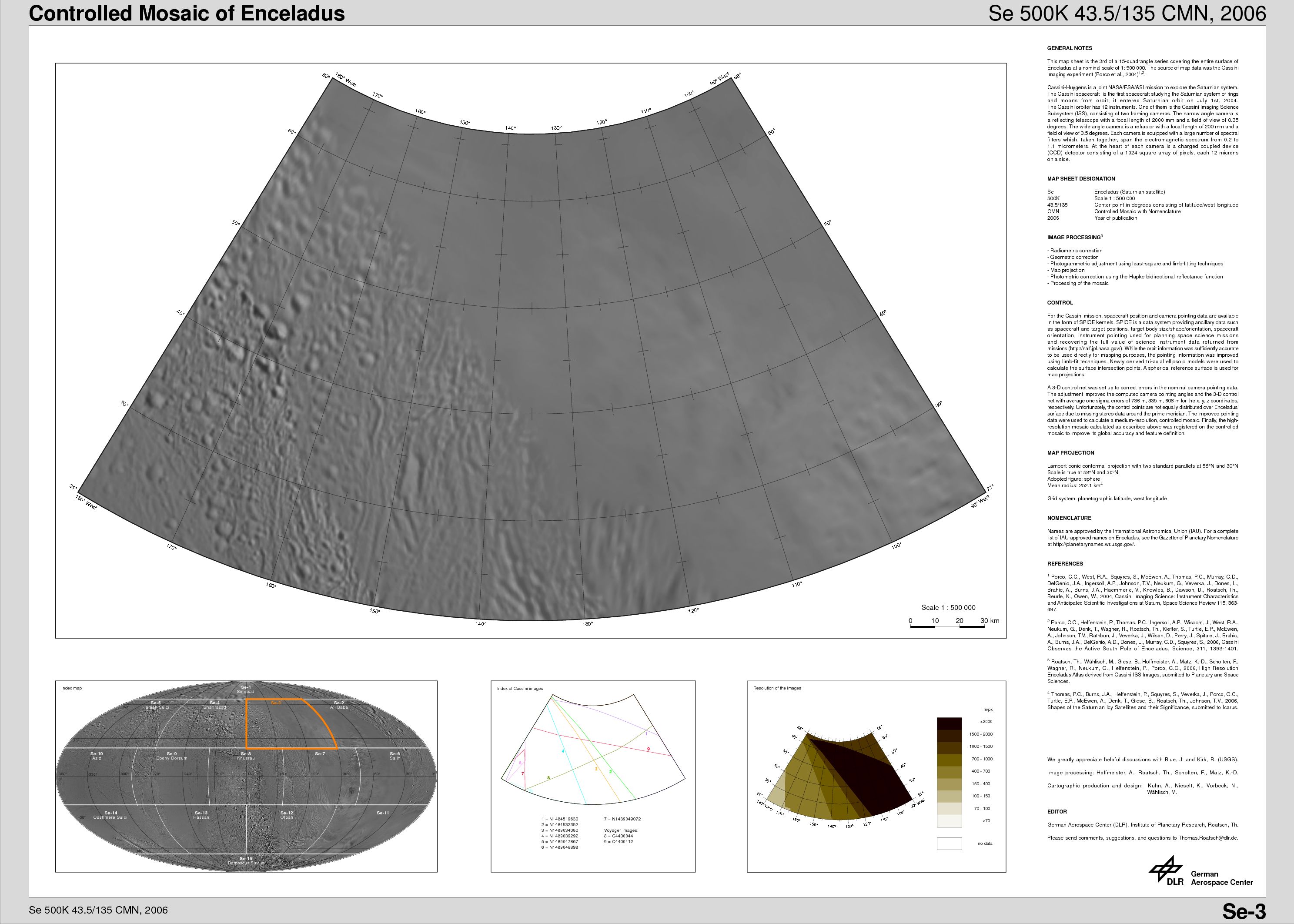 Se-3 Quadrangle | 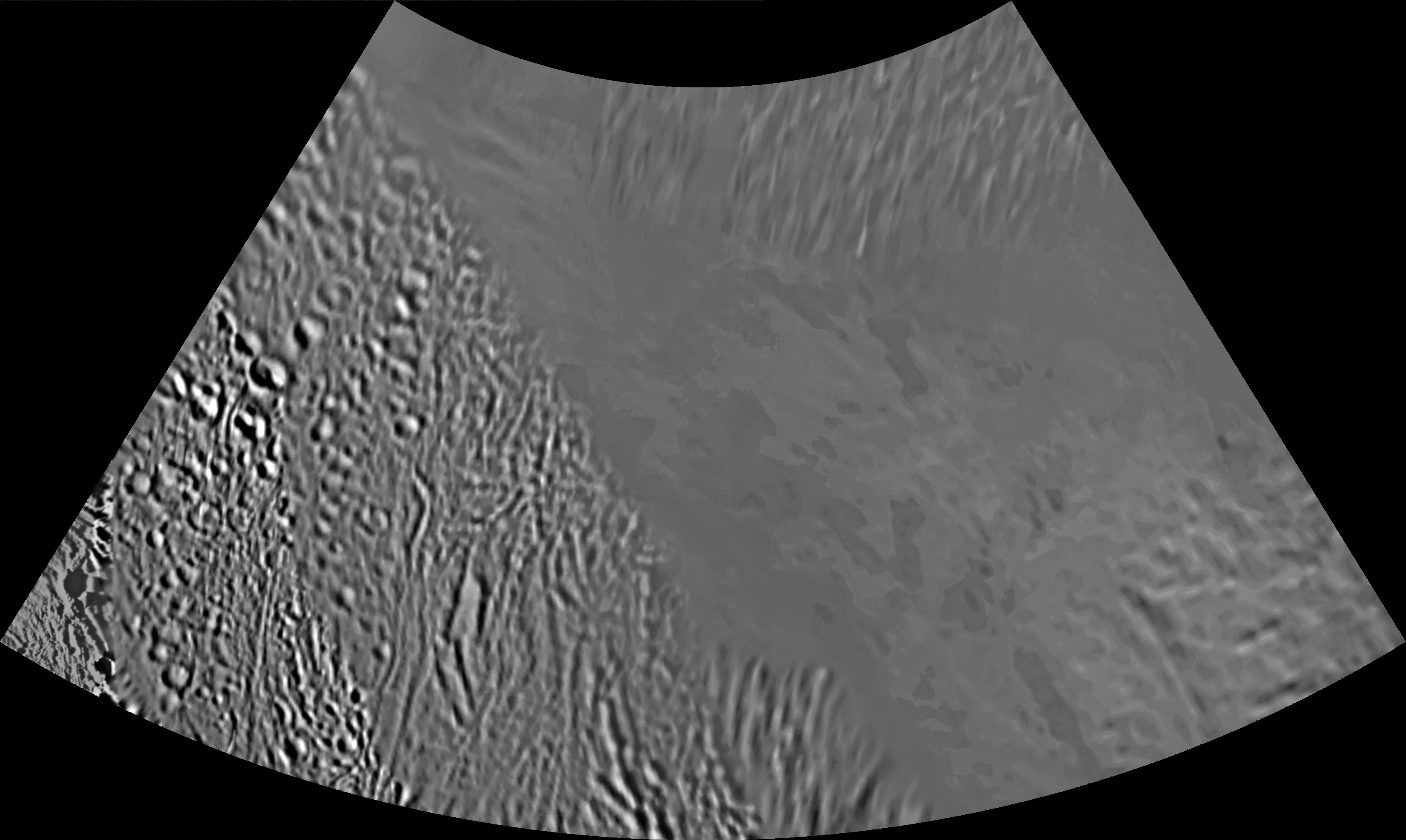 Unlabeled Terrain Section |
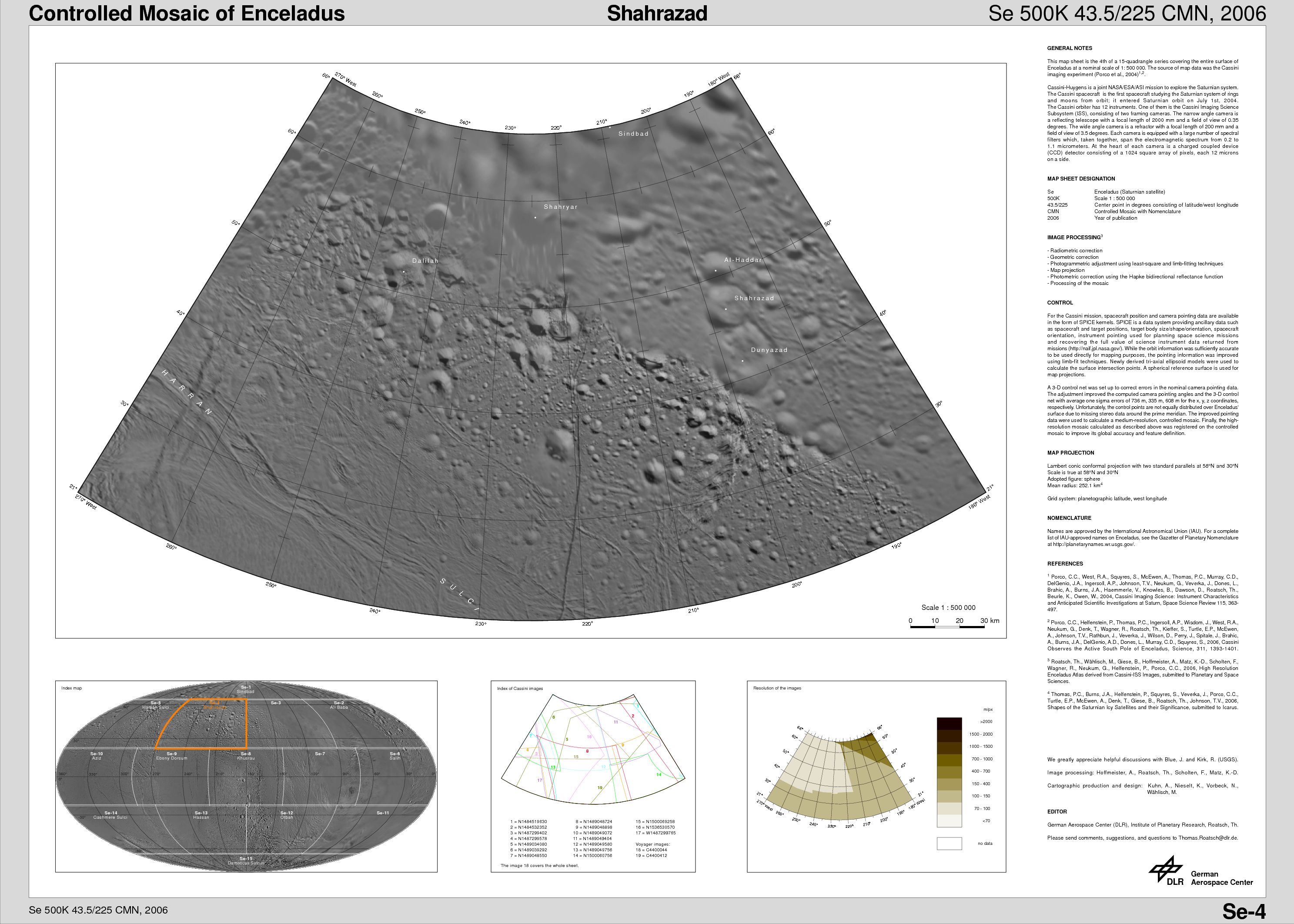 Shahrazad Quadrangle (Se-4) | 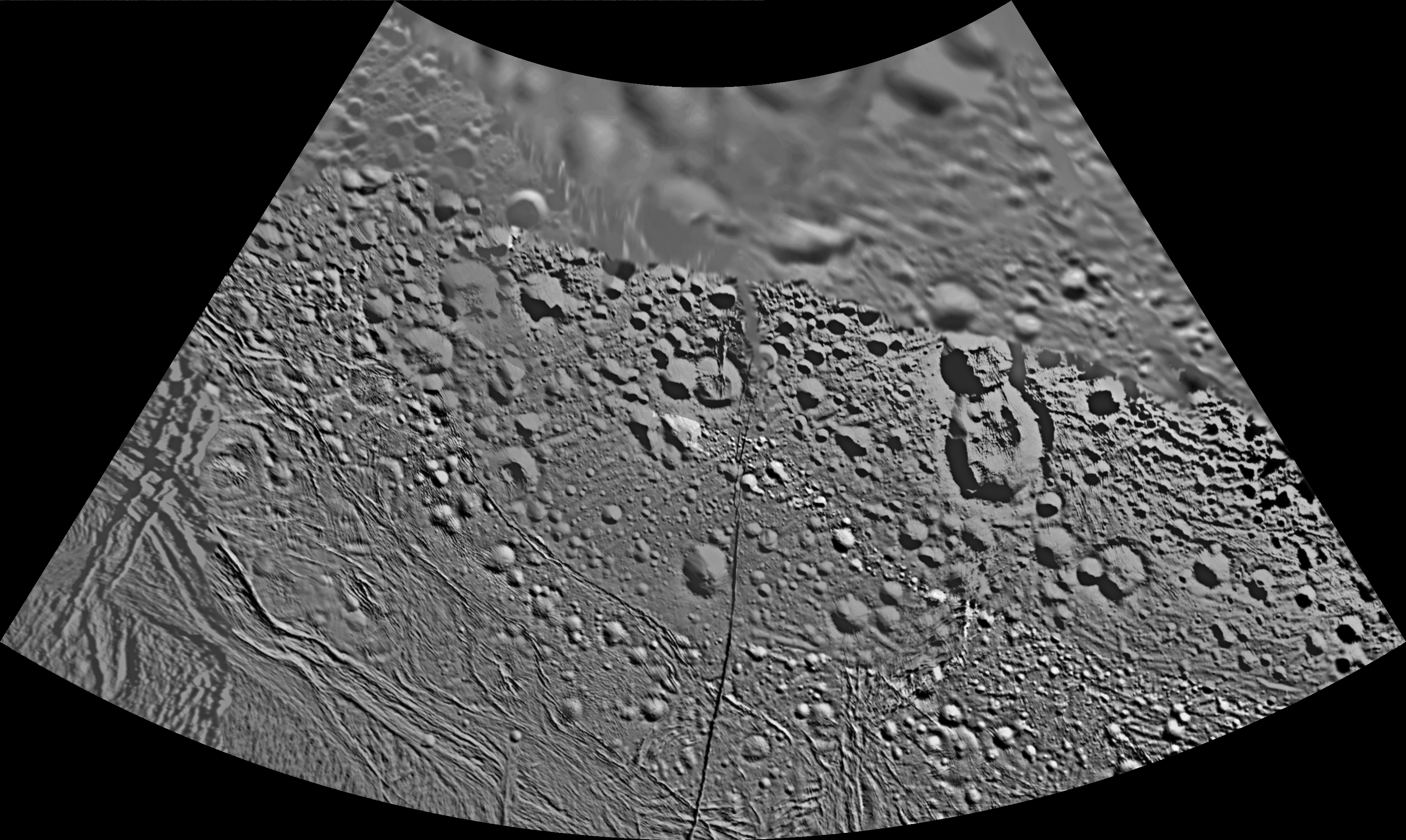 Unlabeled Shahrazad Terrain Section |
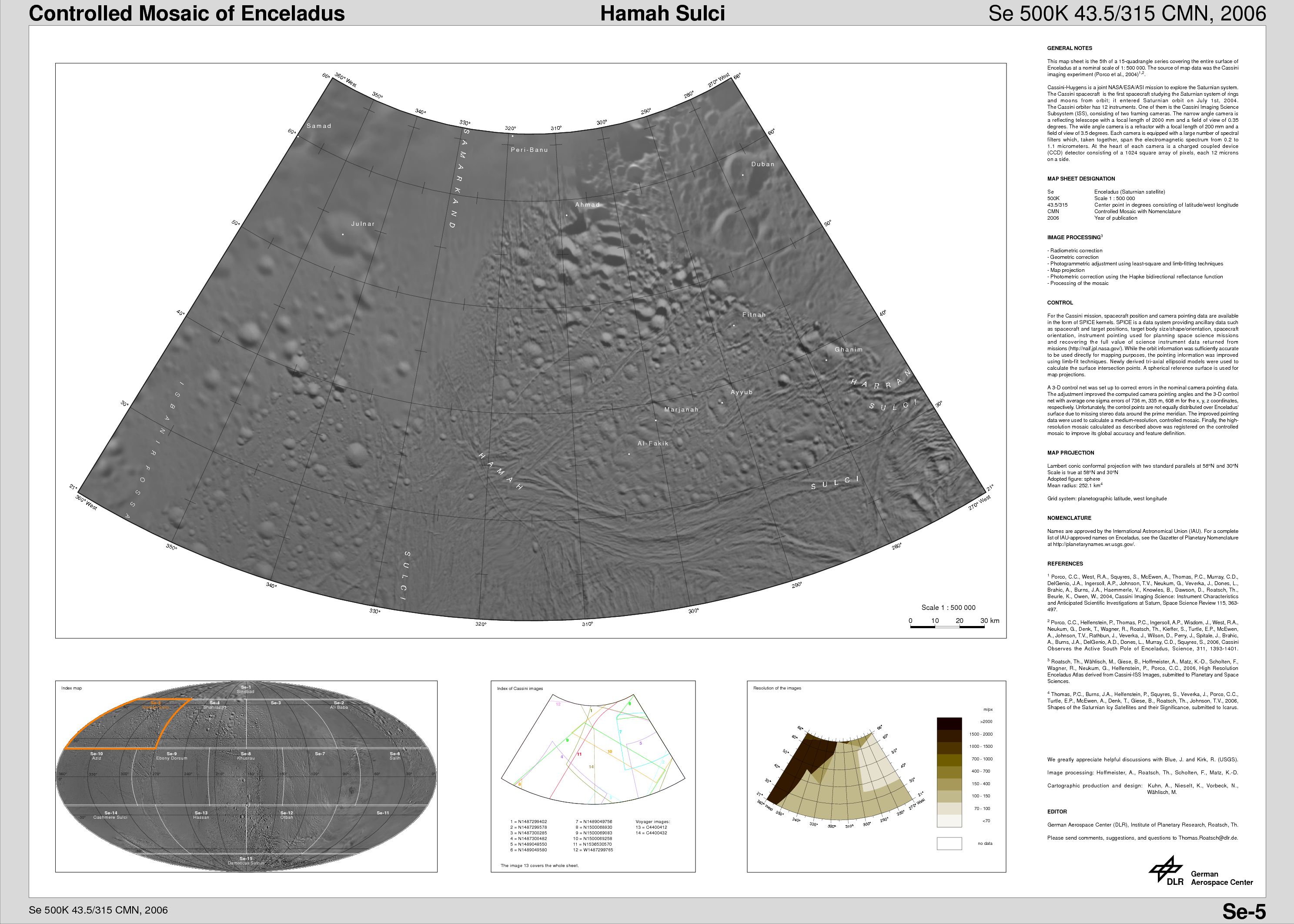 Hamah Sulci Quadrangle (Se-5) |  Unlabeled Hamah Sulci Terrain Section |
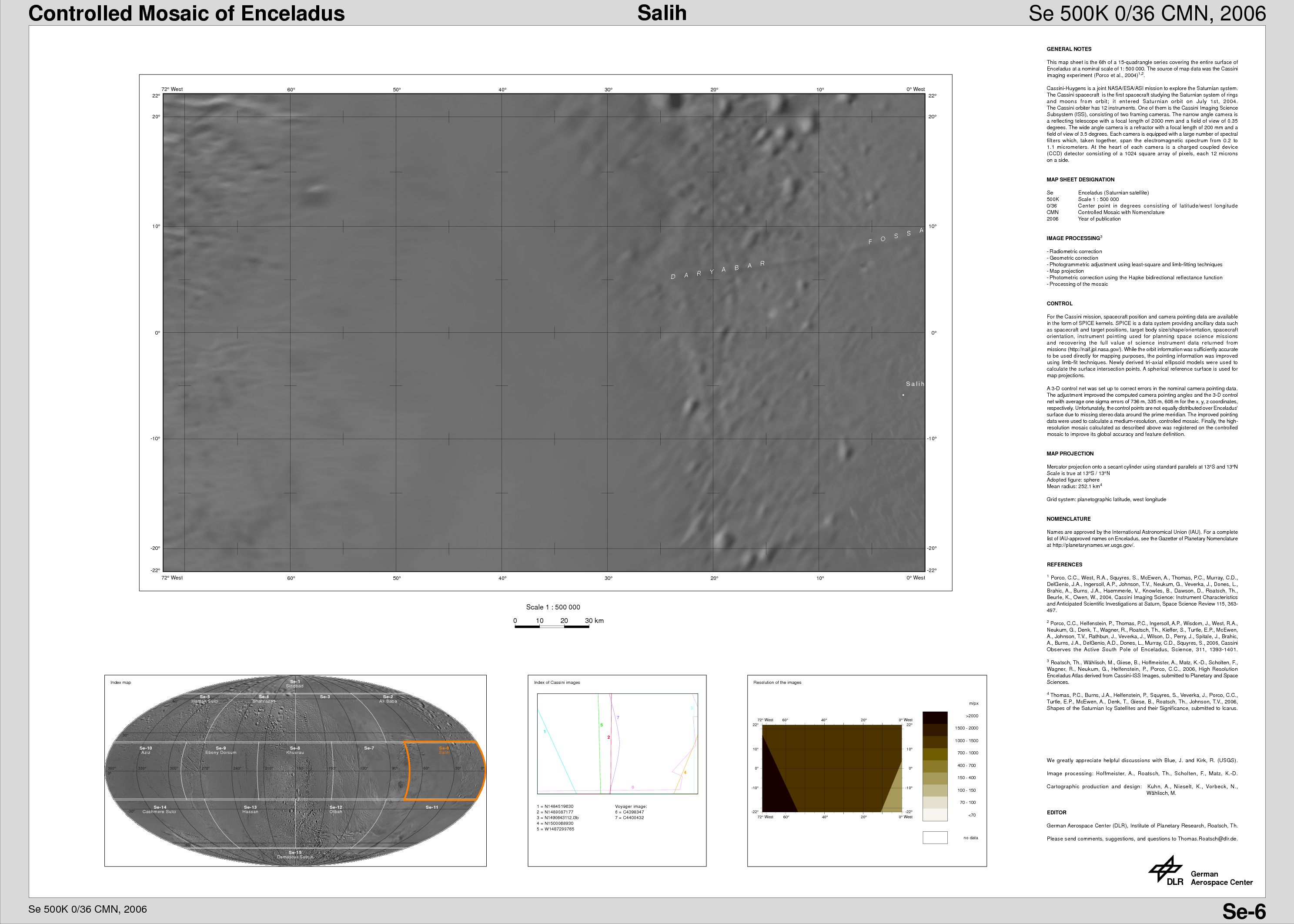 Salih Quadrangle (Se-6) |  Unlabeled Salih Terrain Section |
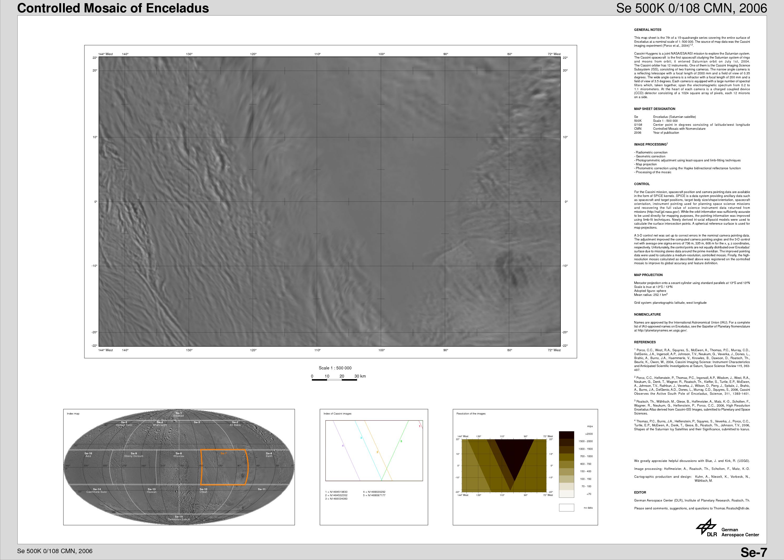 Se-7 Quadrangle | 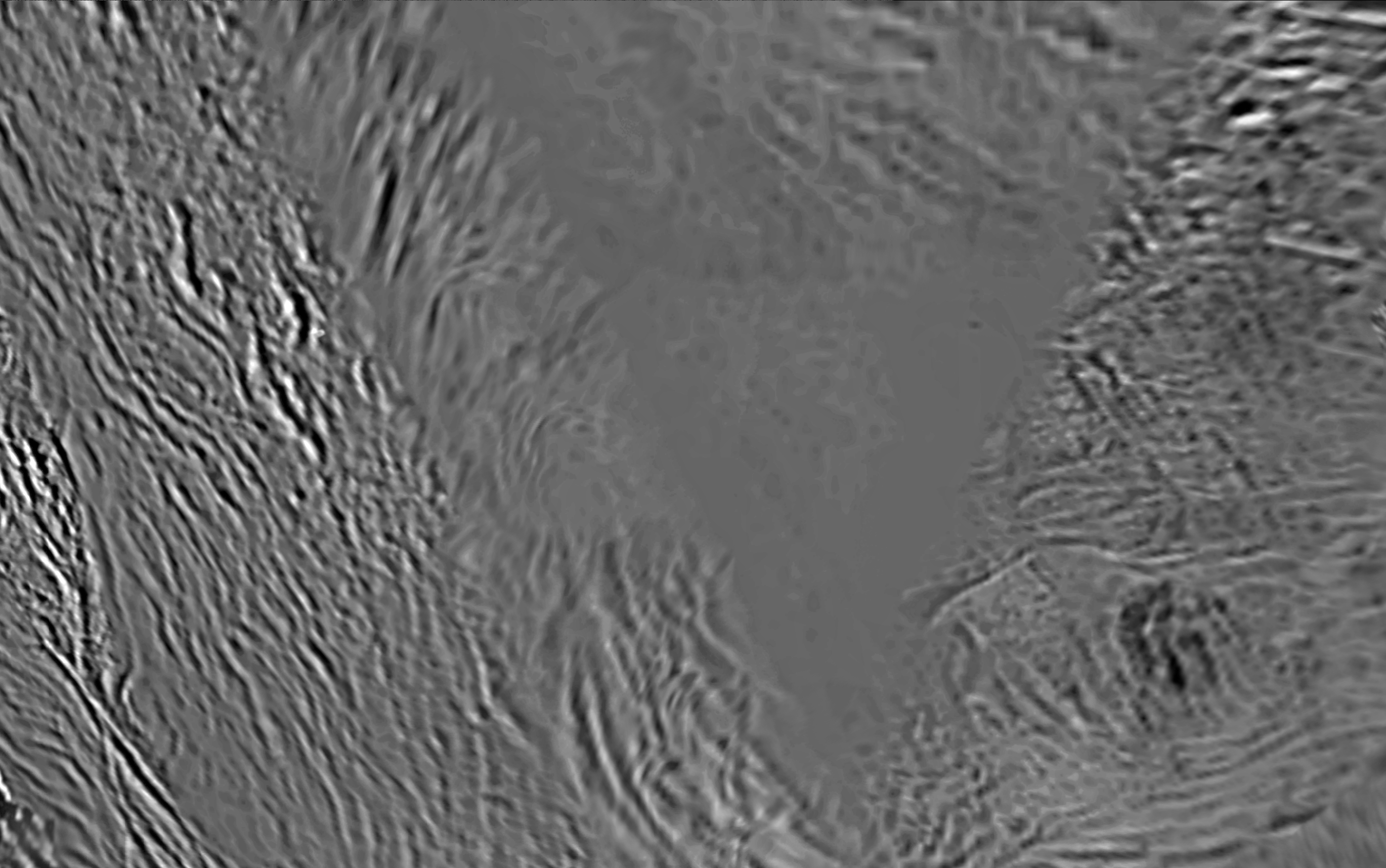 Unlabeled Terrain Section |
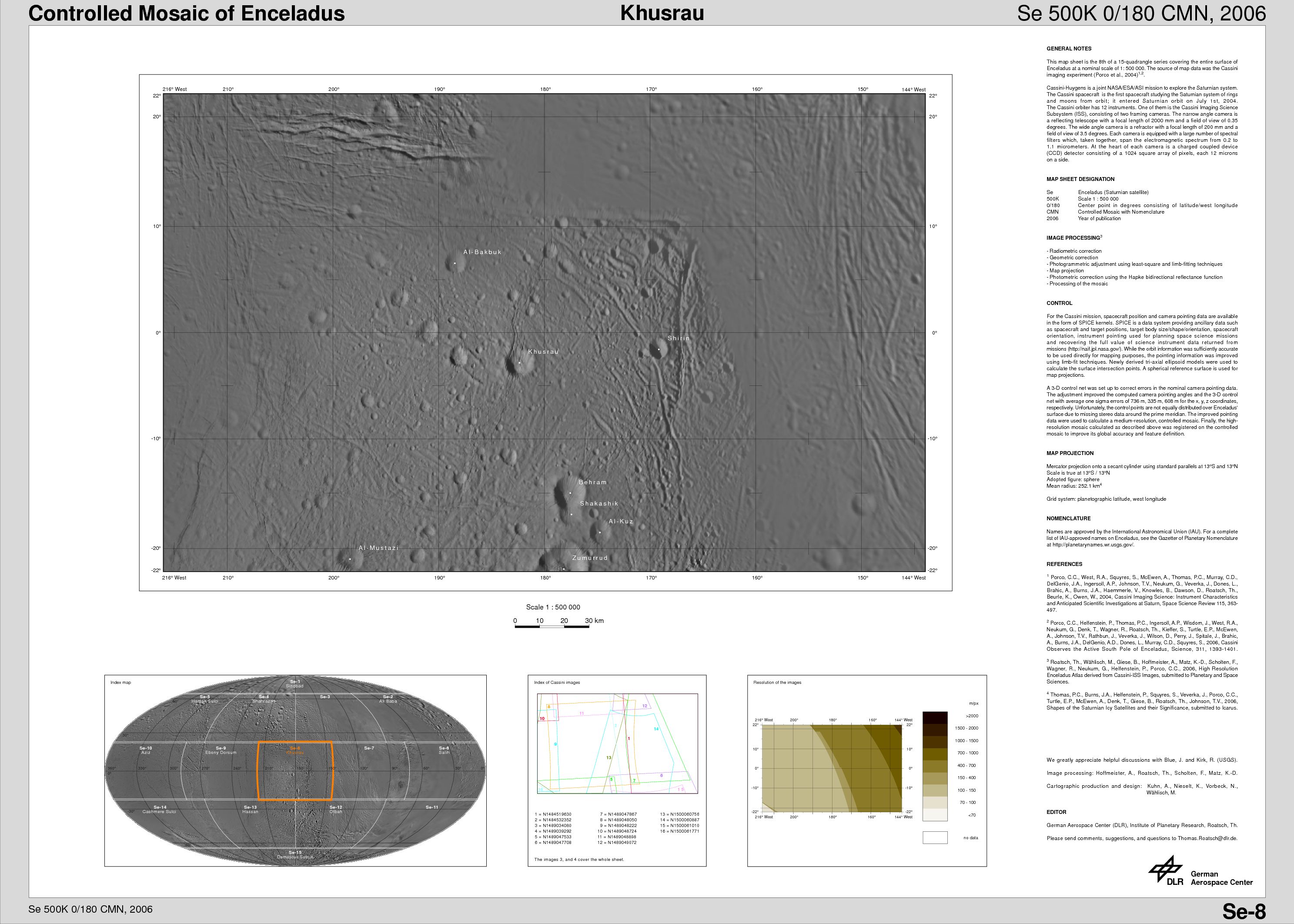 Khusrau Quadrangle (Se-8) |  Unlabeled Khusrau Terrain Section |
 Ebony Dorsum Quadrangle (Se-9) |  Unlabeled Ebony Dorsum Terrain Section |
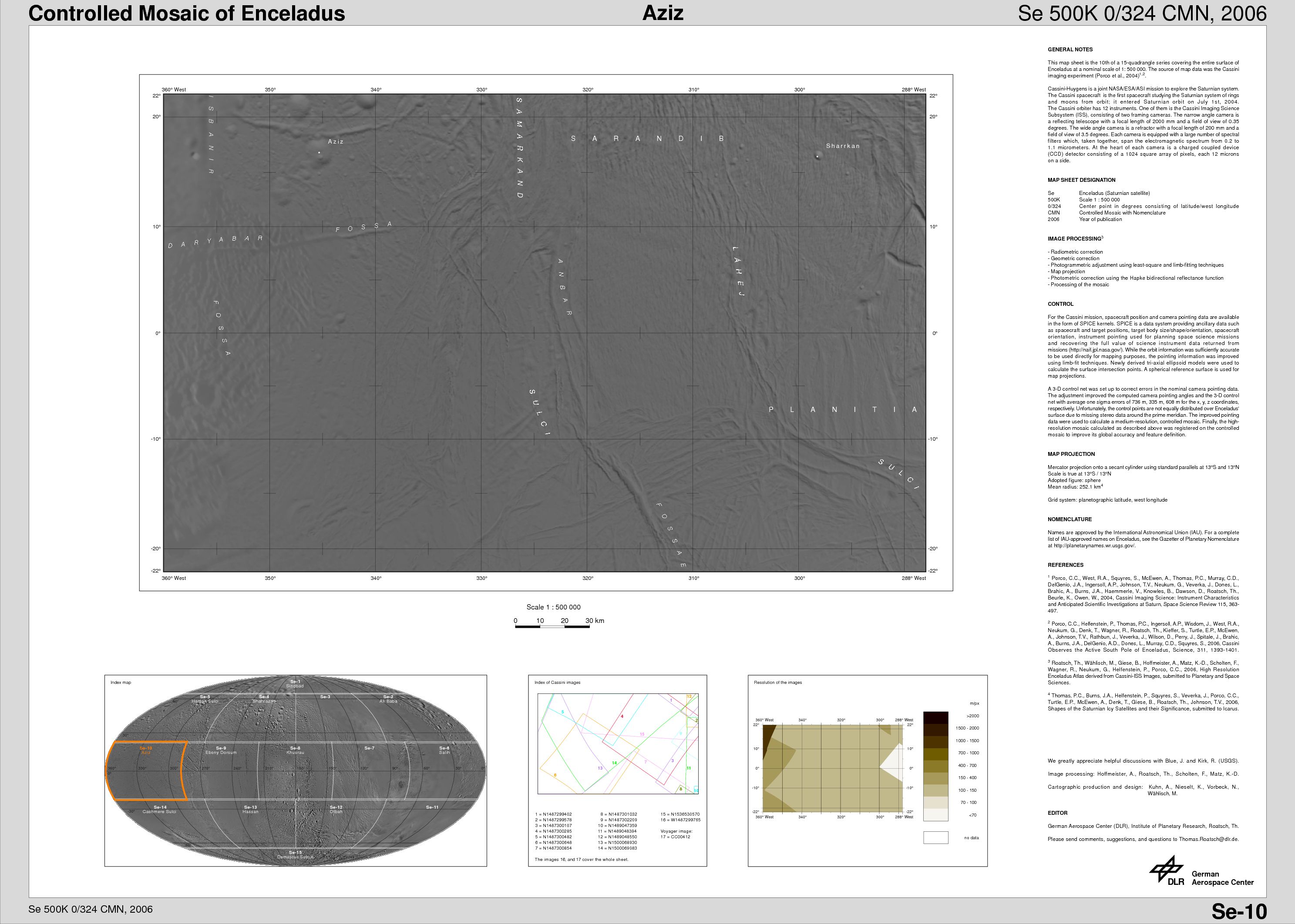 Aziz Quadrangle (Se-10) | 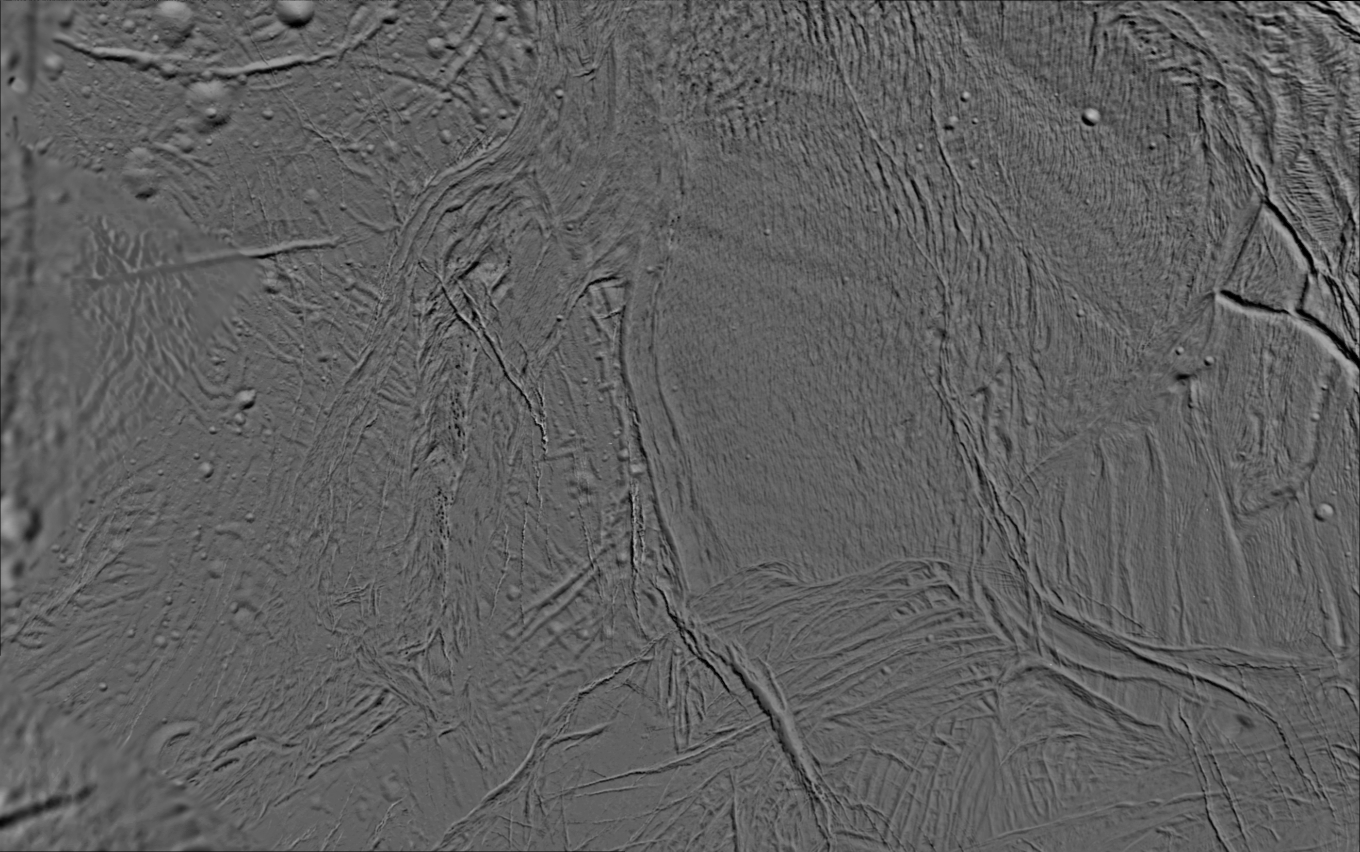 Unlabeled Aziz Terrain Section |
 Se-7 Quadrangle | 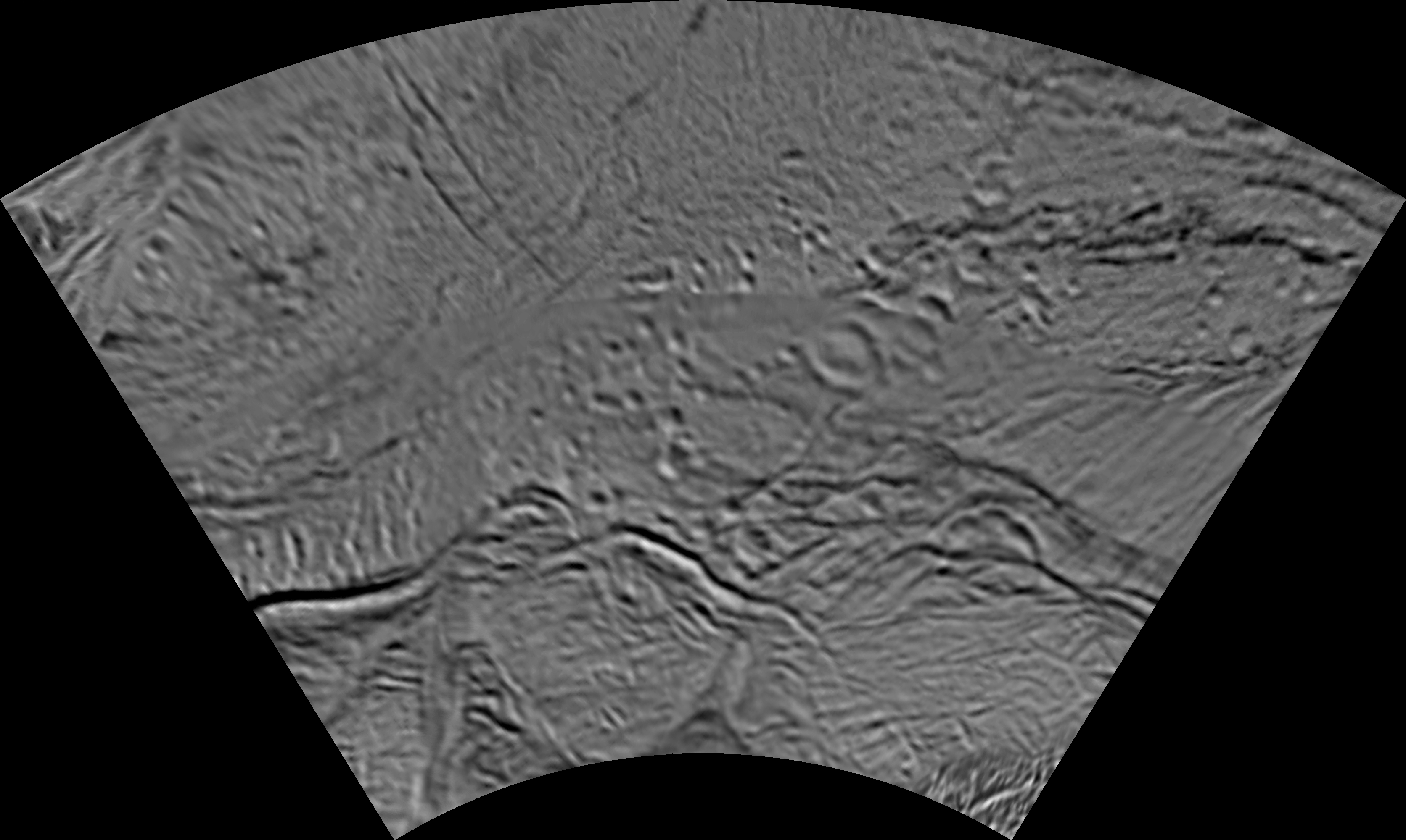 Unlabeled Terrain Section |
 Aziz Quadrangle (Se-10) | 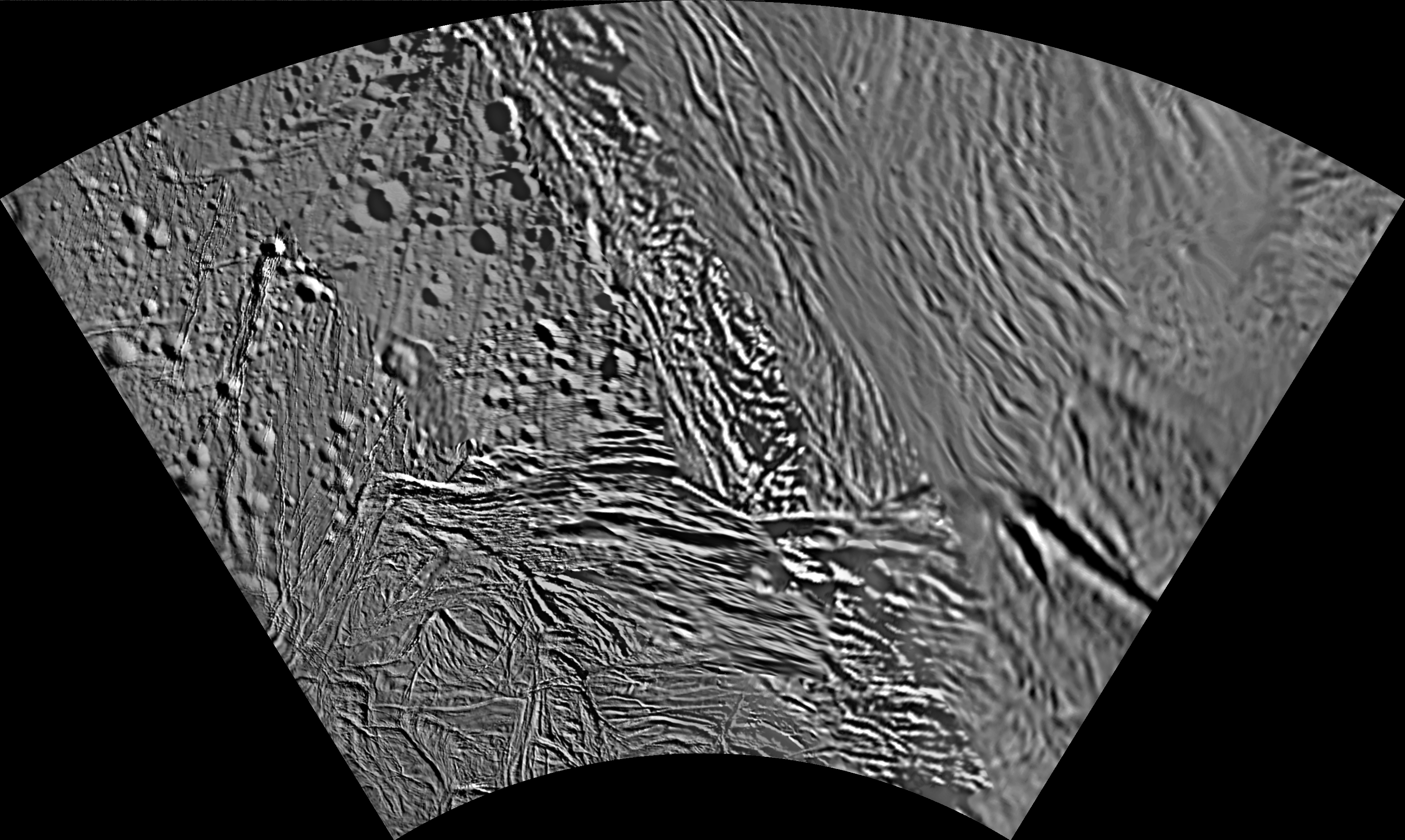 Unlabeled Aziz Terrain Section |
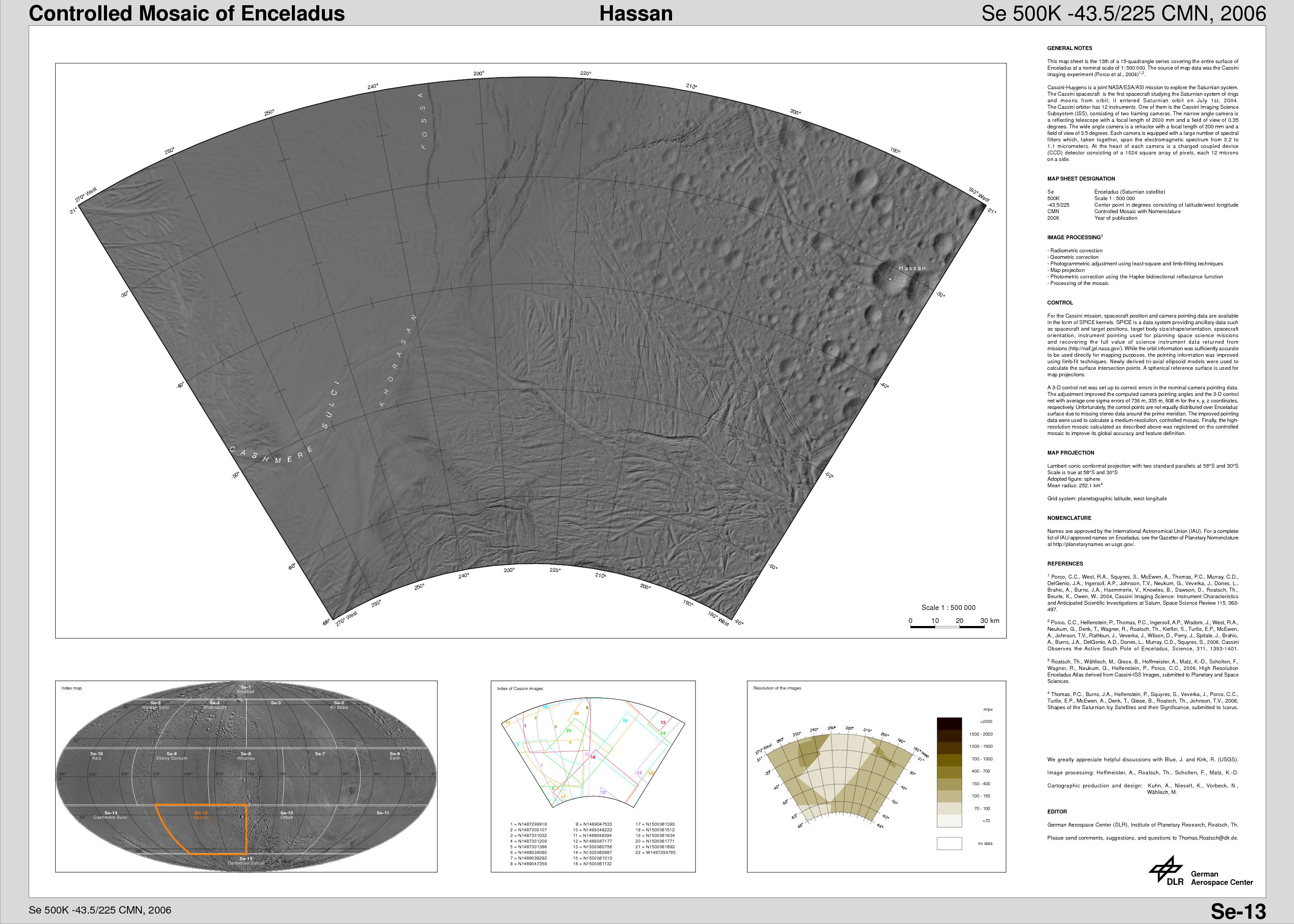 Hassan Quadrangle (Se-13) |  Unlabeled Hassan Terrain Section |
 Cashmere Sulci Quadrangle (Se-14) |  Unlabeled Cashmere Sulci Terrain Section |
 Damascus Sulcus Region (Se-15) |  Unlabeled Damascus Sulcus Terrain Section |
The Cassini-Huygens mission is a cooperative project of NASA, the European Space Agency and the Italian Space Agency. The Jet Propulsion Laboratory, a division of the California Institute of Technology in Pasadena, manages the mission for NASA's Science Mission Directorate, Washington, D.C. The Cassini orbiter and its two onboard cameras were designed, developed and assembled at JPL. The imaging operations center is based at the Space Science Institute in Boulder, Colo.
For more information about the Cassini-Huygens mission visit http://saturn.jpl.nasa.gov/. The Cassini imaging team homepage is at http://ciclops.org.