


Mission
SWOT Earth Science Mission Launch

When:
Friday, December 16, 3:46 a.m. PST (6:46 a.m. EST)Where:
Vandenberg Space Force Base, CaliforniaTarget Audience:
All AudiencesOverview:
Update: Dec. 15, 2022 – NASA, the French space agency, and SpaceX are now targeting 3:46 a.m. PST (6:46 a.m. EST) on Friday, Dec.16, for the launch of the Surface Water and Ocean Topography (SWOT) satellite. Visit NASA's SWOT launch blog for the latest updates.
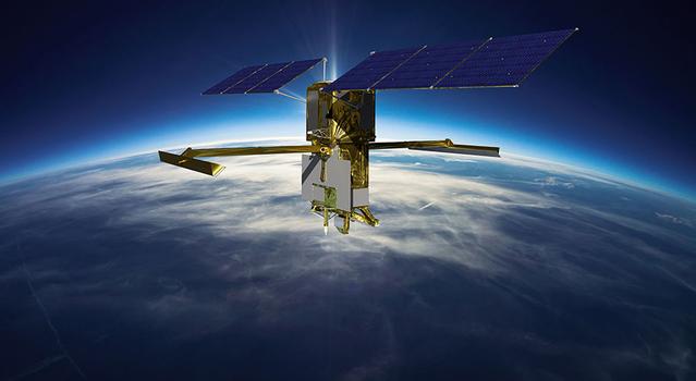
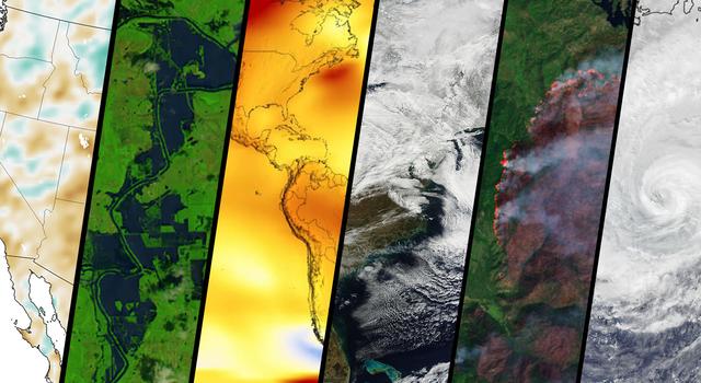
As crucial as water is to human life, did you know that no one has ever completed a global survey of Earth’s surface water? That is about to change with the launch of the SWOT mission, scheduled for December 15.
SWOT, which stands for Surface Water Ocean Topography, will use a state-of-the-art radar to measure the elevation of water in major lakes, rivers, wetlands, and reservoirs. It will also provide an unprecedented level of detail on the ocean surface. This data will help scientists track how these bodies of water are changing over time and improve weather and climate models.
Get the latest news and launch updates on the mission website.
Educational Resources:
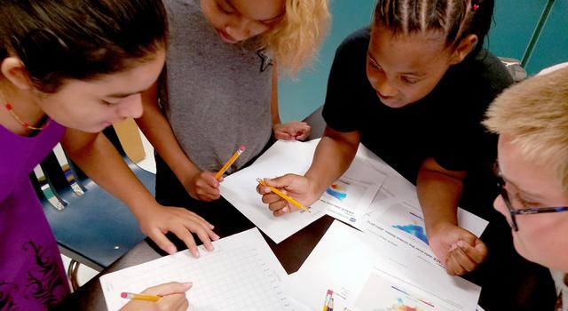
Explore these related educational resources, lessons, and activities to get students engaging in STEM with NASA.
Educator Resources
-
 Teachable Moments
NASA Mission Takes a Deep Dive Into Earth's Surface Water
Explore how and why the SWOT mission will take stock of Earth's water budget, what it could mean for assessing climate change, and how to bring it all to students.
-
 Collection
SWOT Lessons for Educators
Explore the science and engineering behind the SWOT mission with this collection of standards-aligned lessons all about water.
-
 Collection
Rocketry Lessons for Educators
Get students exploring the science and engineering of rockets and rocket launches with this collection of standards-aligned lessons.
Student Activities
Expert Talks
-
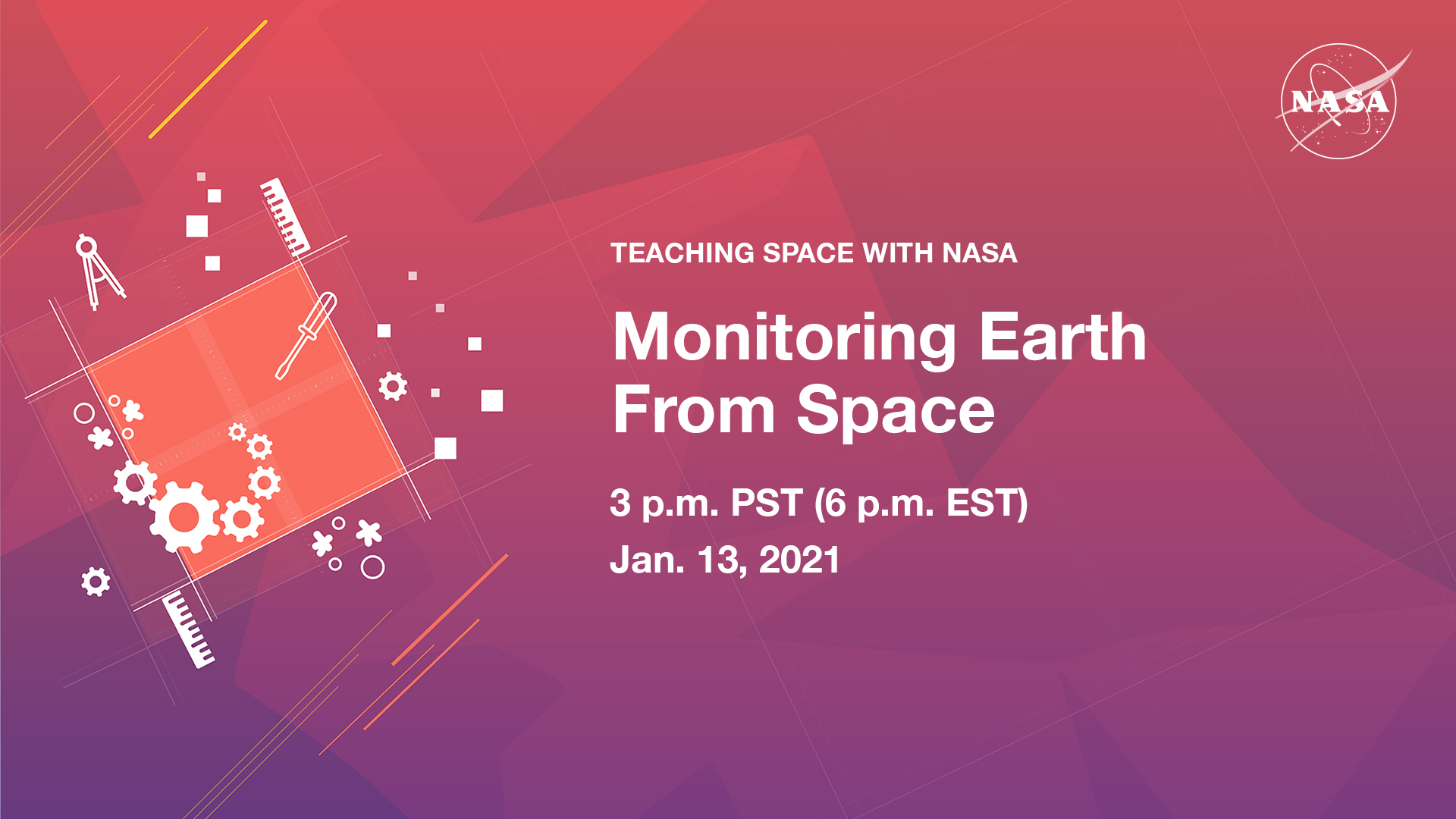 Teaching Space With NASA
Monitoring Earth from Space
In this educational talk, NASA experts discuss how we build spacecraft to study climate, then answer audience questions.
-
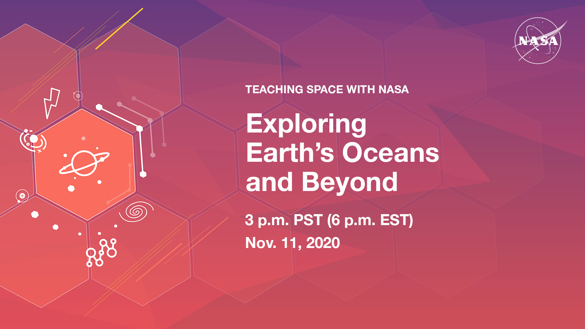 Teaching Space With NASA
Exploring Earth's Oceans and Beyond
In this educational talk, experts from NASA and the Exploration Vessel Nautilus discuss how scientists are exploring Earth's oceans.
Articles
Resources for Kids

Join the Conversation
- Learn about the latest news, events, and resources from the education team at NASA's Jet Propulsion Laboratory. Sign up for the JPL Education newsletter
- Join the conversation and find out about the latest opportunities with @NASAJPL_Edu on Twitter, Facebook, and Instagram.